Distance to Napton, Missouri

Calculating Your Route
Just a moment while we process your request...
Location Information
-
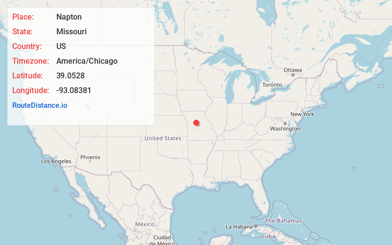
Full AddressNapton, MO 65340
-
Coordinates39.0527998, -93.0838095
-
LocationNapton , Missouri , US
-
TimezoneAmerica/Chicago
-
Current Local Time10:25:35 AM America/ChicagoWednesday, June 18, 2025
-
Page Views0
About Napton
Napton, originally known as Jonesboro, is an unincorporated community in southeastern Saline County, Missouri, United States. Napton is located on Missouri Supplemental Route E, 8 miles southeast of Marshall.
Nearby Places
Found 10 places within 50 miles

Nelson
4.9 mi
7.9 km
Nelson, MO
Get directions

Blackwater
7.1 mi
11.4 km
Blackwater, MO 65322
Get directions

Arrow Rock
7.5 mi
12.1 km
Arrow Rock, MO
Get directions

Marshall
7.8 mi
12.6 km
Marshall, MO 65340
Get directions

Slater
11.4 mi
18.3 km
Slater, MO 65349
Get directions
Gilliam
13.2 mi
21.2 km
Gilliam, MO 65330
Get directions

Pilot Grove
15.4 mi
24.8 km
Pilot Grove, MO 65276
Get directions
Mt Leonard
17.3 mi
27.8 km
Mt Leonard, MO 65339
Get directions

Glasgow
17.5 mi
28.2 km
Glasgow, MO 65254
Get directions
Malta Bend
17.8 mi
28.6 km
Malta Bend, MO 65339
Get directions
Location Links
Local Weather
Weather Information
Coming soon!
Location Map
Static map view of Napton, Missouri
Browse Places by Distance
Places within specific distances from Napton
Short Distances
Long Distances
Click any distance to see all places within that range from Napton. Distances shown in miles (1 mile ≈ 1.61 kilometers).