Distance to Narcoossee, Florida

Calculating Your Route
Just a moment while we process your request...
Location Information
-
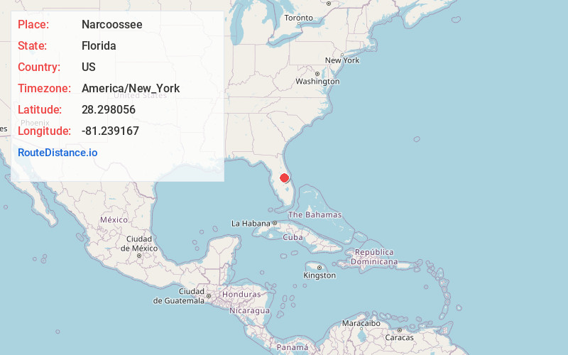
Full AddressNarcoossee, FL 34771
-
Coordinates28.298056, -81.239167
-
LocationNarcoossee , Florida , US
-
TimezoneAmerica/New_York
-
Current Local Time5:17:37 AM America/New_YorkWednesday, June 18, 2025
-
Page Views0
About Narcoossee
Narcoossee is an unincorporated community in eastern Osceola County, Florida, United States. It is located on the east side of East Lake Tohopekaliga. The only major road which runs through Narcoossee is County Road 15, commonly referred to as Narcoossee Road, which connects to U.S. Route 192.

Nearby Places
Found 10 places within 50 miles

New Eden
3.9 mi
6.3 km
New Eden, FL 34771
Get directions

St Cloud
4.3 mi
6.9 km
St Cloud, FL
Get directions
Lake Hart
6.2 mi
10.0 km
Lake Hart, FL 32832
Get directions
Lake Mary Jane
6.7 mi
10.8 km
Lake Mary Jane, FL 32832
Get directions

Buena Ventura Lakes
7.5 mi
12.1 km
Buena Ventura Lakes, FL 34743
Get directions

Meadow Woods
9.8 mi
15.8 km
Meadow Woods, FL 32824
Get directions

Kissimmee
10.0 mi
16.1 km
Kissimmee, FL
Get directions

Southchase
11.0 mi
17.7 km
Southchase, FL
Get directions

Taft
11.9 mi
19.2 km
Taft, FL 32824
Get directions

Hunters Creek
11.9 mi
19.2 km
Hunters Creek, FL 32837
Get directions
Location Links
Local Weather
Weather Information
Coming soon!
Location Map
Static map view of Narcoossee, Florida
Browse Places by Distance
Places within specific distances from Narcoossee
Short Distances
Long Distances
Click any distance to see all places within that range from Narcoossee. Distances shown in miles (1 mile ≈ 1.61 kilometers).