Distance to National, Maryland

Calculating Your Route
Just a moment while we process your request...
Location Information
-
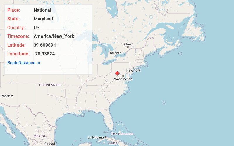
Full AddressNational, MD 21532
-
Coordinates39.609894, -78.9382399
-
LocationNational , Maryland , US
-
TimezoneAmerica/New_York
-
Current Local Time7:49:50 AM America/New_YorkThursday, June 19, 2025
-
Page Views0
About National
National is an unincorporated community and census-designated place in Allegany County, Maryland, United States. As of the 2010 census it had a population of 56.
National is located in the Georges Creek Valley of western Allegany County along Maryland Route 936, 4 miles south of Frostburg.
Nearby Places
Found 10 places within 50 miles

Woodland
0.7 mi
1.1 km
Woodland, MD 21532
Get directions

Klondike
1.4 mi
2.3 km
Klondike, MD 21532
Get directions
Carlos
1.5 mi
2.4 km
Carlos, MD 21532
Get directions

Midland
1.5 mi
2.4 km
Midland, MD
Get directions
Midlothian
1.8 mi
2.9 km
Midlothian, MD 21532
Get directions
Gilmore
2.0 mi
3.2 km
Gilmore, MD
Get directions
Grahamtown
2.6 mi
4.2 km
Grahamtown, MD 21532
Get directions

Frostburg
3.4 mi
5.5 km
Frostburg, MD 21532
Get directions
Eckhart Mines
3.5 mi
5.6 km
Eckhart Mines, MD 21532
Get directions

Lonaconing
3.8 mi
6.1 km
Lonaconing, MD 21539
Get directions
Location Links
Local Weather
Weather Information
Coming soon!
Location Map
Static map view of National, Maryland
Browse Places by Distance
Places within specific distances from National
Short Distances
Long Distances
Click any distance to see all places within that range from National. Distances shown in miles (1 mile ≈ 1.61 kilometers).