Distance to Navajo Mountain, Utah

Calculating Your Route
Just a moment while we process your request...
Location Information
-
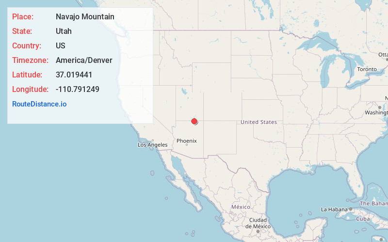
Full AddressNavajo Mountain, UT 86044
-
Coordinates37.0194409, -110.7912486
-
LocationNavajo Mountain , Utah , US
-
TimezoneAmerica/Denver
-
Current Local Time11:26:42 AM America/DenverThursday, June 5, 2025
-
Page Views0
About Navajo Mountain
Navajo Mountain is a census-designated place on the Navajo Nation in southwestern San Juan County, Utah, United States. The 2020 census was recorded as 450.


Nearby Places
Found 6 places within 50 miles

Oljato
34.1 mi
54.9 km
Oljato
Get directions

Kaibito
34.7 mi
55.8 km
Kaibito, AZ 86053
Get directions

Kayenta
35.9 mi
57.8 km
Kayenta, AZ 86033
Get directions

Page
37.4 mi
60.2 km
Page, AZ
Get directions

Lechee
37.4 mi
60.2 km
Lechee, AZ 86040
Get directions

Red Lake
48.9 mi
78.7 km
Red Lake, Tonalea, AZ 86044
Get directions
Location Links
Local Weather
Weather Information
Coming soon!
Location Map
Static map view of Navajo Mountain, Utah
Browse Places by Distance
Places within specific distances from Navajo Mountain
Short Distances
Long Distances
Click any distance to see all places within that range from Navajo Mountain. Distances shown in miles (1 mile ≈ 1.61 kilometers).