Distance to Navarro, California

Calculating Your Route
Just a moment while we process your request...
Location Information
-
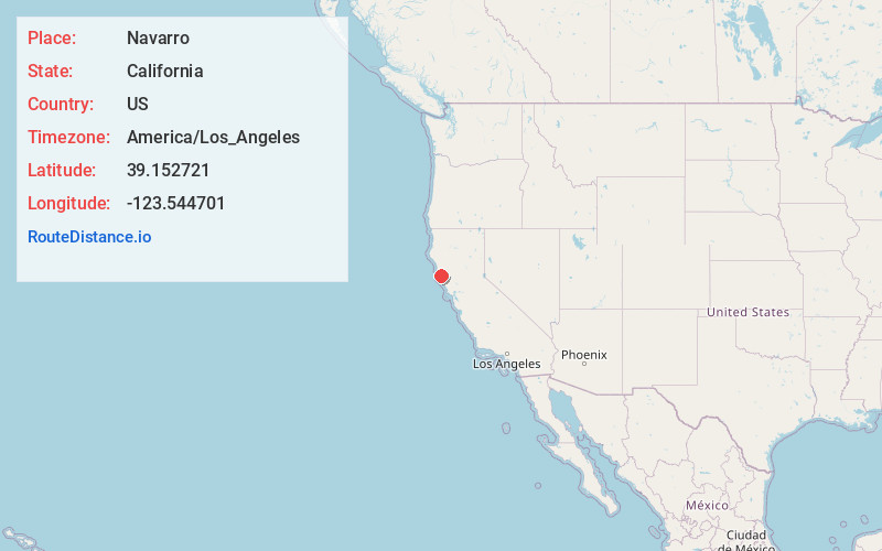
Full AddressNavarro, CA
-
Coordinates39.1527213, -123.5447005
-
LocationNavarro , California , US
-
TimezoneAmerica/Los_Angeles
-
Current Local Time3:38:05 AM America/Los_AngelesWednesday, May 21, 2025
-
Page Views0
About Navarro
Navarro is an unincorporated community in Mendocino County in the U.S. state of California. It is located 18 miles west of Ukiah, at an elevation of 269 feet. It may be reached via the east–west California State Route 128, which connects it to the Pacific coast to the west and to the Anderson Valley to the southeast.


Nearby Places
Found 10 places within 50 miles

Reilly Heights
3.4 mi
5.5 km
Reilly Heights, CA 95466
Get directions
Philbrick Mill
5.6 mi
9.0 km
Philbrick Mill, CA 95466
Get directions

Comptche
8.1 mi
13.0 km
Comptche, CA 95427
Get directions
Philo
8.2 mi
13.2 km
Philo, CA
Get directions

Elk
9.4 mi
15.1 km
Elk, CA 95432
Get directions
Melbourne
10.6 mi
17.1 km
Melbourne, CA 95460
Get directions
Orrs Springs
11.1 mi
17.9 km
Orrs Springs, CA 95482
Get directions
Whitesboro
12.5 mi
20.1 km
Whitesboro, CA 95410
Get directions

Albion
12.9 mi
20.8 km
Albion, CA
Get directions

Boonville
13.8 mi
22.2 km
Boonville, CA
Get directions
Location Links
Local Weather
Weather Information
Coming soon!
Location Map
Static map view of Navarro, California
Browse Places by Distance
Places within specific distances from Navarro
Short Distances
Long Distances
Click any distance to see all places within that range from Navarro. Distances shown in miles (1 mile ≈ 1.61 kilometers).