Distance to Neatsville, Kentucky

Calculating Your Route
Just a moment while we process your request...
Location Information
-
Full AddressNeatsville, KY 42728
-
Coordinates37.196957, -85.124779
-
LocationNeatsville , Kentucky , US
-
TimezoneAmerica/Chicago
-
Current Local Time4:09:04 PM America/ChicagoWednesday, June 18, 2025
-
Page Views0
About Neatsville
Neatsville is an unincorporated community in Adair County, in the U.S. state of Kentucky. It is located at the junction of Kentucky Route 206 and Kentucky Route 76. Its elevation is 705 feet. For unknown reasons, the town's name was spelled as Neetsville from 1876 until 1886, when the town's post office closed.


Nearby Places
Found 10 places within 50 miles

Pellyton
2.4 mi
3.9 km
Pellyton, KY 42728
Get directions
Ella
2.9 mi
4.7 km
Ella, KY 42728
Get directions
Barnett Springs
3.6 mi
5.8 km
Barnett Springs, KY 42728
Get directions
Casey Creek
5.5 mi
8.9 km
Casey Creek, KY 42728
Get directions
Sano
6.2 mi
10.0 km
Sano, KY 42642
Get directions
Sycamore Flat
6.8 mi
10.9 km
Sycamore Flat, KY 42642
Get directions
Gentrys Mill
7.9 mi
12.7 km
Gentrys Mill, KY 42642
Get directions
Evans Ford
8.0 mi
12.9 km
Evans Ford, KY 42539
Get directions
Royville
9.1 mi
14.6 km
Royville, KY 42642
Get directions
Bass
9.9 mi
15.9 km
Bass, KY 42733
Get directions
Location Links
Local Weather
Weather Information
Coming soon!
Location Map
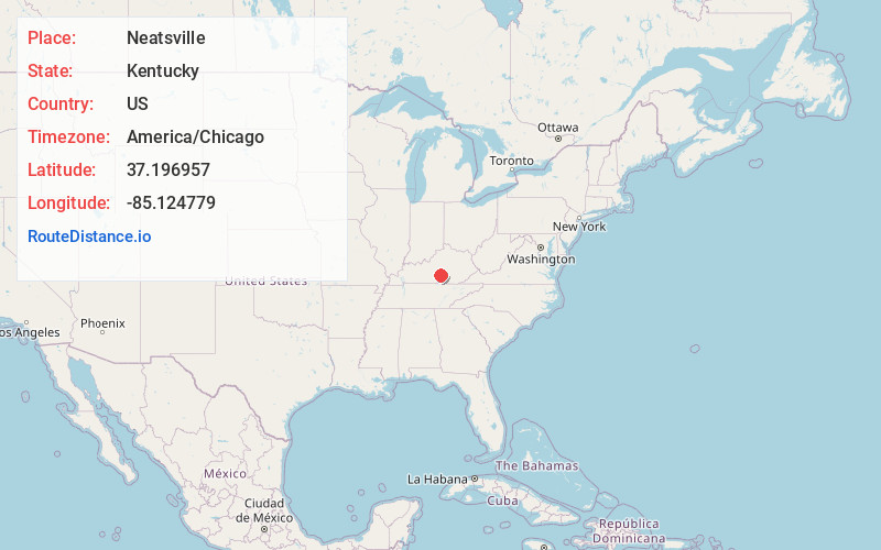
Static map view of Neatsville, Kentucky
Browse Places by Distance
Places within specific distances from Neatsville
Short Distances
Long Distances
Click any distance to see all places within that range from Neatsville. Distances shown in miles (1 mile ≈ 1.61 kilometers).