Distance to Negaunee, Michigan

Calculating Your Route
Just a moment while we process your request...
Location Information
-
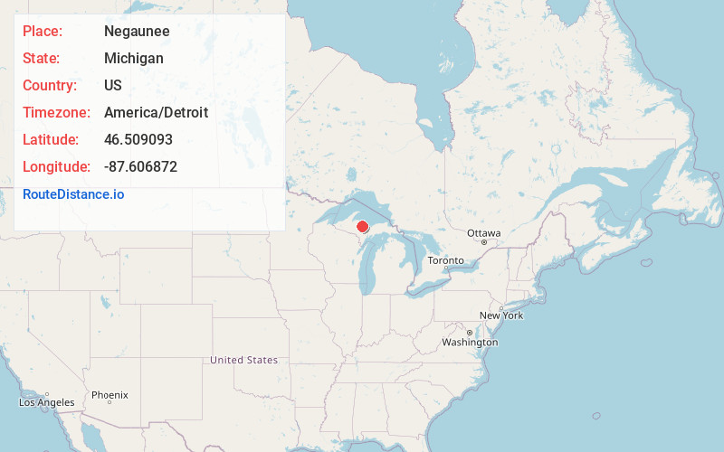
Full AddressNegaunee, MI 49866
-
Coordinates46.5090928, -87.6068721
-
LocationNegaunee , Michigan , US
-
TimezoneAmerica/Detroit
-
Current Local Time9:33:41 AM America/DetroitWednesday, June 18, 2025
-
Page Views0
About Negaunee
Negaunee is a city in Marquette County in the U.S. state of Michigan. The population was 4,627 at the 2020 census. The city is located at the southwest corner of Negaunee Township, which is administratively separate, in the Upper Peninsula. The city is home to a luge track.


Nearby Places
Found 2 places within 50 miles


Location Links
Local Weather
Weather Information
Coming soon!
Location Map
Static map view of Negaunee, Michigan
Browse Places by Distance
Places within specific distances from Negaunee
Short Distances
Long Distances
Click any distance to see all places within that range from Negaunee. Distances shown in miles (1 mile ≈ 1.61 kilometers).