Distance to Negley, Texas

Calculating Your Route
Just a moment while we process your request...
Location Information
-
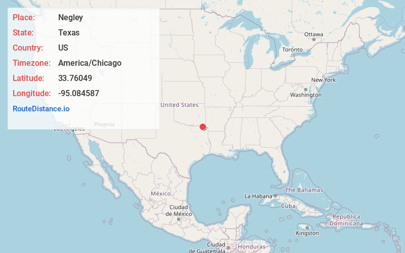
Full AddressNegley, TX 75426
-
Coordinates33.76049, -95.084587
-
LocationNegley , Texas , US
-
TimezoneAmerica/Chicago
-
Current Local Time3:39:25 AM America/ChicagoThursday, June 5, 2025
-
Page Views0
About Negley
Negley is an unincorporated community in Red River County, Texas, United States, approximately ten miles north of Clarksville. Located on Farm-to-Market Road 2118, Negley had a population of 136 in 2000.
Nearby Places
Found 10 places within 50 miles

Dimple
3.3 mi
5.3 km
Dimple, TX 75426
Get directions
Dilworth
7.2 mi
11.6 km
Dilworth, TX 75426
Get directions
Manchester
7.2 mi
11.6 km
Manchester, TX 75436
Get directions
Blakeney
7.2 mi
11.6 km
Blakeney, TX 75426
Get directions
Vandalia
7.3 mi
11.7 km
Vandalia, TX 75426
Get directions
Albion
7.5 mi
12.1 km
Albion, TX 75426
Get directions
Acworth
7.8 mi
12.6 km
Acworth, TX 75426
Get directions
Bagwell
8.1 mi
13.0 km
Bagwell, TX
Get directions
Addielou
8.5 mi
13.7 km
Addielou, TX 75412
Get directions
Mabry
10.3 mi
16.6 km
Mabry, TX 75426
Get directions
Location Links
Local Weather
Weather Information
Coming soon!
Location Map
Static map view of Negley, Texas
Browse Places by Distance
Places within specific distances from Negley
Short Distances
Long Distances
Click any distance to see all places within that range from Negley. Distances shown in miles (1 mile ≈ 1.61 kilometers).