Distance to Nehawka, Nebraska

Calculating Your Route
Just a moment while we process your request...
Location Information
-
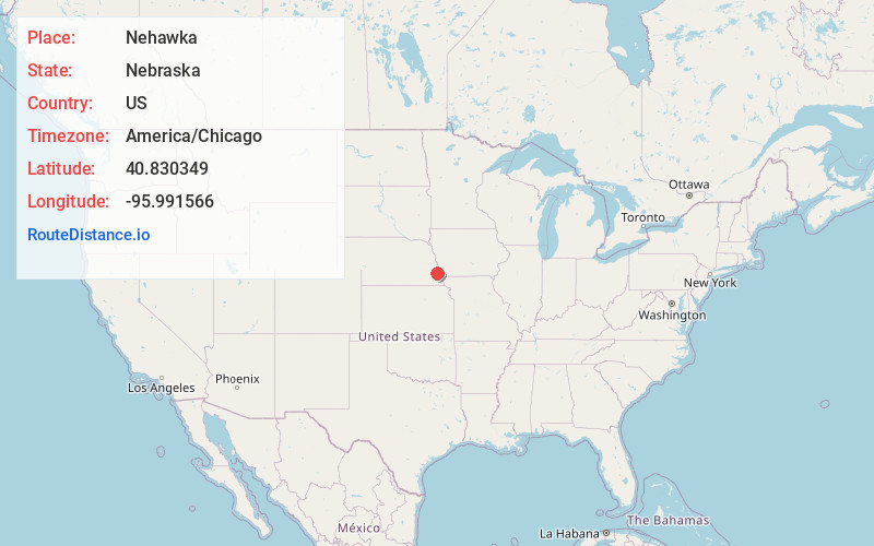
Full AddressNehawka, NE 68413
-
Coordinates40.8303487, -95.9915664
-
LocationNehawka , Nebraska , US
-
TimezoneAmerica/Chicago
-
Current Local Time10:16:23 PM America/ChicagoWednesday, June 18, 2025
-
Page Views0
About Nehawka
Nehawka is a village in southeast Cass County, Nebraska, United States. The population was 173 at the 2020 census.


Nearby Places
Found 10 places within 50 miles

Union
3.8 mi
6.1 km
Union, NE 68455
Get directions

Murray
6.8 mi
10.9 km
Murray, NE 68409
Get directions

Avoca
7.0 mi
11.3 km
Avoca, NE 68307
Get directions

Weeping Water
8.2 mi
13.2 km
Weeping Water, NE 68463
Get directions

Otoe
9.9 mi
15.9 km
Otoe, NE 68417
Get directions
Manley
11.0 mi
17.7 km
Manley, NE
Get directions

Dunbar
11.3 mi
18.2 km
Dunbar, NE 68346
Get directions

Nebraska City
12.7 mi
20.4 km
Nebraska City, NE 68410
Get directions

Plattsmouth
13.8 mi
22.2 km
Plattsmouth, NE 68048
Get directions

Louisville
14.9 mi
24.0 km
Louisville, NE 68037
Get directions
Location Links
Local Weather
Weather Information
Coming soon!
Location Map
Static map view of Nehawka, Nebraska
Browse Places by Distance
Places within specific distances from Nehawka
Short Distances
Long Distances
Click any distance to see all places within that range from Nehawka. Distances shown in miles (1 mile ≈ 1.61 kilometers).