Distance to Nelson, Virginia

Calculating Your Route
Just a moment while we process your request...
Location Information
-
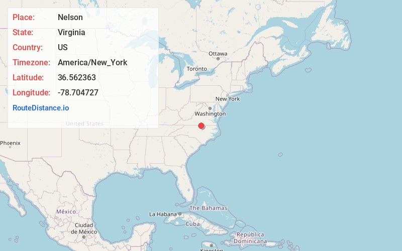
Full AddressNelson, VA 24598
-
Coordinates36.5623628, -78.7047266
-
LocationNelson , Virginia , US
-
TimezoneAmerica/New_York
-
Current Local Time5:56:23 AM America/New_YorkSunday, June 22, 2025
-
Page Views0
About Nelson
Nelson is an unincorporated community in Mecklenburg County, Virginia, United States. Nelson is located on Virginia State Route 49, 4.1 miles east-northeast of Virgilina. Nelson has a post office with ZIP code 24580. Nelson is mostly a small farm community owned by the Nelson family.
Nearby Places
Found 10 places within 50 miles

Rip Rap
2.3 mi
3.7 km
Rip Rap, VA 24598
Get directions

Virgilina
4.1 mi
6.6 km
Virgilina, VA 24598
Get directions
Moffett
5.5 mi
8.9 km
Moffett, VA 24598
Get directions
Wilbourns
5.5 mi
8.9 km
Wilbourns, NC 27565
Get directions

Shiny Rock
6.0 mi
9.7 km
Shiny Rock, VA 23927
Get directions

Buffalo Springs
6.2 mi
10.0 km
Buffalo Springs, VA 24529
Get directions
Sandy Fork
6.4 mi
10.3 km
Sandy Fork, VA 24529
Get directions
Christie
7.7 mi
12.4 km
Christie, VA 24598
Get directions

Clarksville
9.2 mi
14.8 km
Clarksville, VA
Get directions
Omega
9.4 mi
15.1 km
Omega, VA 24592
Get directions
Location Links
Local Weather
Weather Information
Coming soon!
Location Map
Static map view of Nelson, Virginia
Browse Places by Distance
Places within specific distances from Nelson
Short Distances
Long Distances
Click any distance to see all places within that range from Nelson. Distances shown in miles (1 mile ≈ 1.61 kilometers).