Distance to Nelsonville, Ohio

Calculating Your Route
Just a moment while we process your request...
Location Information
-
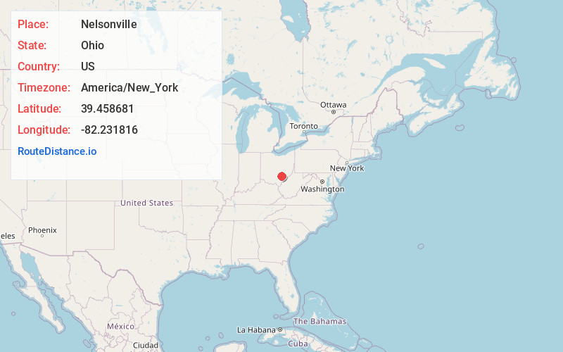
Full AddressNelsonville, OH 45764
-
Coordinates39.458681, -82.2318156
-
LocationNelsonville , Ohio , US
-
TimezoneAmerica/New_York
-
Current Local Time5:01:13 PM America/New_YorkSaturday, June 14, 2025
-
Website
-
Page Views0
About Nelsonville
Nelsonville is a city in northwestern Athens County, Ohio, United States, located about 60 miles southeast of Columbus. The population was 5,373 at the 2020 census. It is home to Hocking College as well as Rocky Brands. Nelsonville is surrounded by Ohio's only national forest, the Wayne National Forest.


Nearby Places
Found 10 places within 50 miles

Logan
10.9 mi
17.5 km
Logan, OH 43138
Get directions

Athens
11.3 mi
18.2 km
Athens, OH 45701
Get directions

New Lexington
17.7 mi
28.5 km
New Lexington, OH 43764
Get directions

Lancaster
26.4 mi
42.5 km
Lancaster, OH 43130
Get directions

Wellston
28.2 mi
45.4 km
Wellston, OH
Get directions

Zanesville
35.3 mi
56.8 km
Zanesville, OH 43701
Get directions

Jackson
35.5 mi
57.1 km
Jackson, OH 45640
Get directions

Belpre
37.4 mi
60.2 km
Belpre, OH 45714
Get directions

Vienna
37.6 mi
60.5 km
Vienna, WV
Get directions

Parkersburg
38.3 mi
61.6 km
Parkersburg, WV
Get directions
Location Links
Local Weather
Weather Information
Coming soon!
Location Map
Static map view of Nelsonville, Ohio
Browse Places by Distance
Places within specific distances from Nelsonville
Short Distances
Long Distances
Click any distance to see all places within that range from Nelsonville. Distances shown in miles (1 mile ≈ 1.61 kilometers).