Distance to Nenzel, Nebraska

Calculating Your Route
Just a moment while we process your request...
Location Information
-
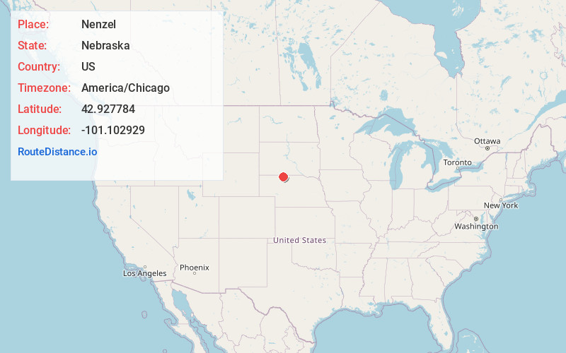
Full AddressNenzel, NE 69219
-
Coordinates42.9277842, -101.1029289
-
LocationNenzel , Nebraska , US
-
TimezoneAmerica/Chicago
-
Current Local Time3:04:29 PM America/ChicagoWednesday, June 18, 2025
-
Page Views0
About Nenzel
Nenzel is a village in Cherry County, Nebraska, United States. The population was 17 at the 2020 census.


Nearby Places
Found 10 places within 50 miles

Cody
7.2 mi
11.6 km
Cody, NE 69211
Get directions
Kilgore
7.5 mi
12.1 km
Kilgore, NE 69216
Get directions
Crookston
17.7 mi
28.5 km
Crookston, NE 69212
Get directions

St Francis
17.9 mi
28.8 km
St Francis, SD 57572
Get directions
Two Strike
22.8 mi
36.7 km
Two Strike, SD
Get directions
Rosebud
24.5 mi
39.4 km
Rosebud, SD 57570
Get directions

Parmelee
27.6 mi
44.4 km
Parmelee, SD 57566
Get directions

Valentine
28.2 mi
45.4 km
Valentine, NE 69201
Get directions
Soldier Creek
29.5 mi
47.5 km
Soldier Creek, SD
Get directions

Merriman
30.3 mi
48.8 km
Merriman, NE 69218
Get directions
Location Links
Local Weather
Weather Information
Coming soon!
Location Map
Static map view of Nenzel, Nebraska
Browse Places by Distance
Places within specific distances from Nenzel
Short Distances
Long Distances
Click any distance to see all places within that range from Nenzel. Distances shown in miles (1 mile ≈ 1.61 kilometers).