Distance to Neosho County, Kansas

Calculating Your Route
Just a moment while we process your request...
Location Information
-
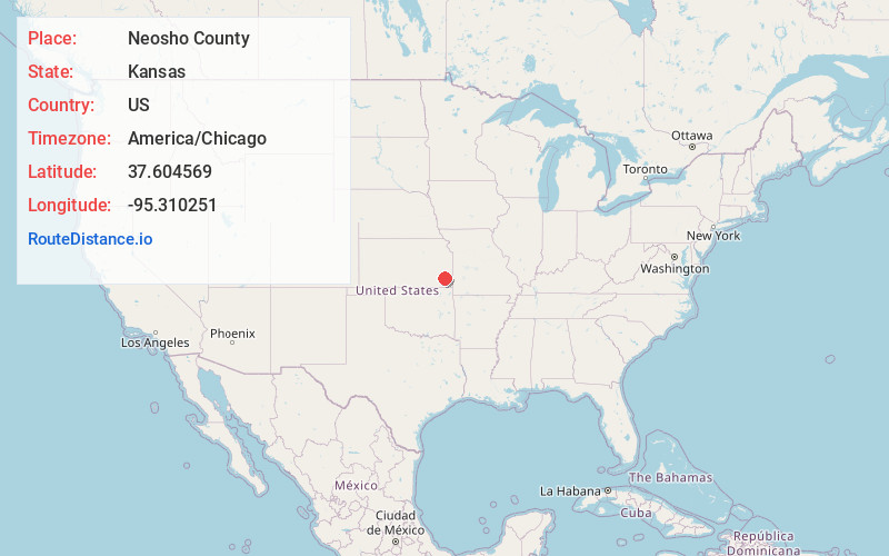
Full AddressNeosho County, KS
-
Coordinates37.6045688, -95.3102505
-
LocationKansas , US
-
TimezoneAmerica/Chicago
-
Current Local Time4:01:02 AM America/ChicagoWednesday, June 4, 2025
-
Page Views0
About Neosho County
Neosho County is a county located in Southeast Kansas. Its county seat is Erie. As of the 2020 census, the county population was 15,904. The county was named for the Neosho River, which passes through the county.


Nearby Places
Found 10 places within 50 miles

Shaw
0.4 mi
0.6 km
Shaw, Erie Township, KS 66733
Get directions
Rollin
3.2 mi
5.1 km
Rollin, KS 66720
Get directions
Erie
4.4 mi
7.1 km
Erie, KS 66733
Get directions
Urbana
5.9 mi
9.5 km
Urbana, KS 66720
Get directions
Odense
7.5 mi
12.1 km
Odense, KS 66733
Get directions
Earlton
8.8 mi
14.2 km
Earlton, KS 66720
Get directions
Kimball
8.9 mi
14.3 km
Kimball, Grant Township, KS 66733
Get directions
Leanna
8.9 mi
14.3 km
Leanna, Big Creek Township, KS 66748
Get directions

Galesburg
9.4 mi
15.1 km
Galesburg, KS 66740
Get directions

Chanute
9.6 mi
15.4 km
Chanute, KS 66720
Get directions
Location Links
Local Weather
Weather Information
Coming soon!
Location Map
Static map view of Neosho County, Kansas
Browse Places by Distance
Places within specific distances from Neosho County
Short Distances
Long Distances
Click any distance to see all places within that range from Neosho County. Distances shown in miles (1 mile ≈ 1.61 kilometers).