Distance to Nesmith, South Carolina

Calculating Your Route
Just a moment while we process your request...
Location Information
-
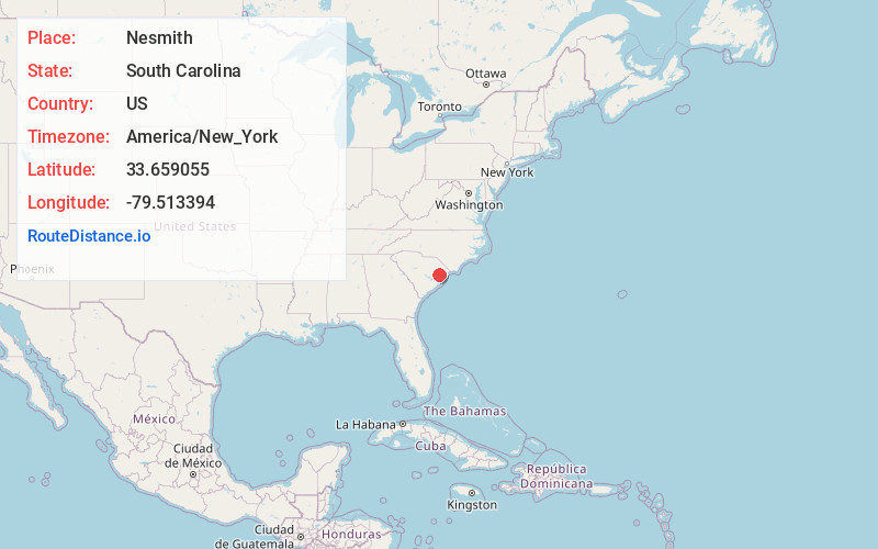
Full AddressNesmith, SC 29580
-
Coordinates33.6590552, -79.5133935
-
LocationNesmith , South Carolina , US
-
TimezoneAmerica/New_York
-
Current Local Time5:58:26 AM America/New_YorkWednesday, June 18, 2025
-
Page Views0
About Nesmith
Nesmith is an unincorporated community in Williamsburg County, South Carolina, United States. It was a station on the Seaboard Air Line Railroad line which was built about 1912. Today it consists of a post office, fire station, and a country store, serving a large rural area which depends on agriculture and logging.
Nearby Places
Found 10 places within 50 miles

Cook
2.0 mi
3.2 km
Cook, SC 29580
Get directions
Chandlers
2.0 mi
3.2 km
Chandlers, SC 29554
Get directions
Henry
2.0 mi
3.2 km
Henry, SC 29554
Get directions
Morrisville
3.9 mi
6.3 km
Morrisville, SC 29510
Get directions
Old Morrisville
4.2 mi
6.8 km
Old Morrisville, SC 29510
Get directions
Gordonville
4.4 mi
7.1 km
Gordonville, SC 29554
Get directions
Indiantown Swamp
4.4 mi
7.1 km
Indiantown Swamp, South Carolina 29554
Get directions
Rome
4.4 mi
7.1 km
Rome, SC 29554
Get directions
Stuckey
5.0 mi
8.0 km
Stuckey, SC 29554
Get directions
Snow Town
5.2 mi
8.4 km
Snow Town, SC 29510
Get directions
Location Links
Local Weather
Weather Information
Coming soon!
Location Map
Static map view of Nesmith, South Carolina
Browse Places by Distance
Places within specific distances from Nesmith
Short Distances
Long Distances
Click any distance to see all places within that range from Nesmith. Distances shown in miles (1 mile ≈ 1.61 kilometers).