Distance to Nespelem Community, Washington

Calculating Your Route
Just a moment while we process your request...
Location Information
-
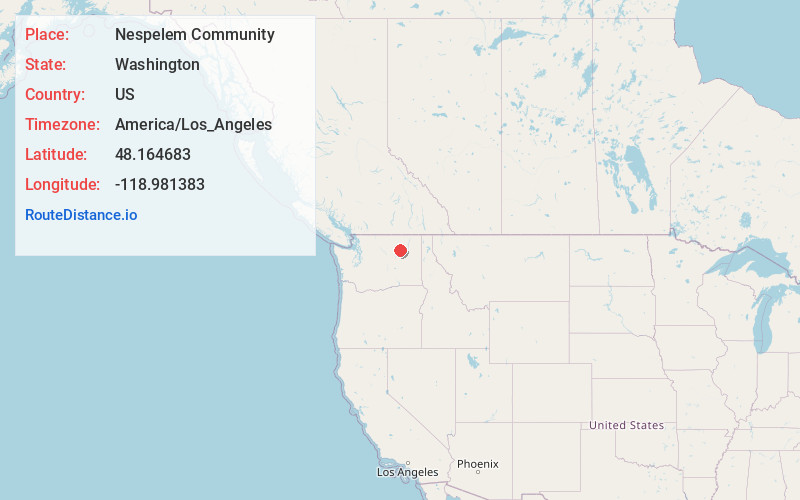
Full AddressNespelem Community, WA
-
Coordinates48.1646826, -118.9813831
-
LocationNespelem Community , Washington , US
-
TimezoneAmerica/Los_Angeles
-
Current Local Time7:33:45 AM America/Los_AngelesThursday, June 26, 2025
-
Page Views0
About Nespelem Community
Nespelem Community is a census-designated place in on the Colville Indian Reservation in Okanogan County, Washington, United States. The population was 283 at the 2020 census.
Nearby Places
Found 10 places within 50 miles

Coulee Dam
13.5 mi
21.7 km
Coulee Dam, WA
Get directions

Grand Coulee
15.6 mi
25.1 km
Grand Coulee, WA 99133
Get directions

Electric City
16.3 mi
26.2 km
Electric City, WA
Get directions

North Omak
28.8 mi
46.3 km
North Omak, WA
Get directions

Omak
30.3 mi
48.8 km
Omak, WA
Get directions

Wilbur
30.8 mi
49.6 km
Wilbur, WA 99185
Get directions

Okanogan
30.8 mi
49.6 km
Okanogan, WA 98840
Get directions

Almira
31.4 mi
50.5 km
Almira, WA 99103
Get directions

Riverside
33.6 mi
54.1 km
Riverside, WA
Get directions

Bridgeport
33.6 mi
54.1 km
Bridgeport, WA 98813
Get directions
Location Links
Local Weather
Weather Information
Coming soon!
Location Map
Static map view of Nespelem Community, Washington
Browse Places by Distance
Places within specific distances from Nespelem Community
Short Distances
Long Distances
Click any distance to see all places within that range from Nespelem Community. Distances shown in miles (1 mile ≈ 1.61 kilometers).