Distance to Nesquehoning, Pennsylvania

Calculating Your Route
Just a moment while we process your request...
Location Information
-
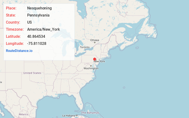
Full AddressNesquehoning, PA
-
Coordinates40.864534, -75.8110277
-
LocationNesquehoning , Pennsylvania , US
-
TimezoneAmerica/New_York
-
Current Local Time5:24:06 PM America/New_YorkTuesday, June 17, 2025
-
Page Views0
About Nesquehoning
Nesquehoning is a borough in Carbon County, Pennsylvania, United States. It is part of Northeastern Pennsylvania. The population was 3,336 at the 2020 census.
Nesquehoning was established as a result of the anthracite coal mining industry.


Nearby Places
Found 10 places within 50 miles

Jim Thorpe
4.2 mi
6.8 km
Jim Thorpe, PA
Get directions

Lansford
4.4 mi
7.1 km
Lansford, PA
Get directions

Mahoning Township
4.5 mi
7.2 km
Mahoning Township, PA 18235
Get directions

Lehighton
5.5 mi
8.9 km
Lehighton, PA 18235
Get directions

Tamaqua
9.5 mi
15.3 km
Tamaqua, PA 18252
Get directions

Hazleton
10.7 mi
17.2 km
Hazleton, PA
Get directions

Penn Forest Township
10.9 mi
17.5 km
Penn Forest Township, PA
Get directions

Foster Township
10.9 mi
17.5 km
Foster Township, PA
Get directions

Palmerton
11.4 mi
18.3 km
Palmerton, PA 18071
Get directions

Freeland
11.4 mi
18.3 km
Freeland, PA 18224
Get directions
Location Links
Local Weather
Weather Information
Coming soon!
Location Map
Static map view of Nesquehoning, Pennsylvania
Browse Places by Distance
Places within specific distances from Nesquehoning
Short Distances
Long Distances
Click any distance to see all places within that range from Nesquehoning. Distances shown in miles (1 mile ≈ 1.61 kilometers).