Distance to Netcong, New Jersey

Calculating Your Route
Just a moment while we process your request...
Location Information
-
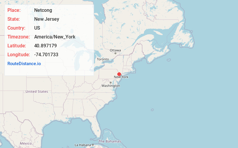
Full AddressNetcong, NJ
-
Coordinates40.8971794, -74.7017328
-
LocationNetcong , New Jersey , US
-
TimezoneAmerica/New_York
-
Current Local Time5:17:33 AM America/New_YorkWednesday, June 18, 2025
-
Website
-
Page Views0
About Netcong
Netcong is a borough in southwestern Morris County, in the U.S. state of New Jersey. As of the 2020 United States census, the borough's population was 3,375, an increase of 143 from the 2010 census count of 3,232, which in turn reflected an increase of 652 from the 2,580 counted in the 2000 census.


Nearby Places
Found 10 places within 50 miles

Stanhope
0.8 mi
1.3 km
Stanhope, NJ 07874
Get directions

Byram Township
2.1 mi
3.4 km
Byram Township, NJ
Get directions

Mt Olive
2.4 mi
3.9 km
Mt Olive, NJ
Get directions

Hopatcong
3.3 mi
5.3 km
Hopatcong, NJ
Get directions

Roxbury Township
3.3 mi
5.3 km
Roxbury Township, NJ
Get directions

Mt Arlington
4.1 mi
6.6 km
Mt Arlington, NJ
Get directions

Lake Hopatcong
5.1 mi
8.2 km
Lake Hopatcong, New Jersey
Get directions

Mine Hill Township
5.4 mi
8.7 km
Mine Hill Township, NJ
Get directions

Allamuchy Township
5.9 mi
9.5 km
Allamuchy Township, NJ
Get directions

Wharton
6.2 mi
10.0 km
Wharton, NJ
Get directions
Location Links
Local Weather
Weather Information
Coming soon!
Location Map
Static map view of Netcong, New Jersey
Browse Places by Distance
Places within specific distances from Netcong
Short Distances
Long Distances
Click any distance to see all places within that range from Netcong. Distances shown in miles (1 mile ≈ 1.61 kilometers).