Distance to and from New Castle, Colorado
New Castle, CO 81647
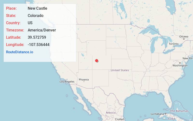
New Castle
Colorado
US
America/Denver
Location Information
-
Full AddressNew Castle, CO 81647
-
Coordinates39.5727585, -107.5364443
-
LocationNew Castle , Colorado , US
-
TimezoneAmerica/Denver
-
Current Local Time12:32:03 AM America/DenverSunday, May 4, 2025
-
Website
-
Page Views0
Directions to Nearest Cities
About New Castle
The Town of New Castle is a home rule municipality in Garfield County, Colorado, United States. The population was 4,923 at the 2020 census.


Nearby Places
Found 7 places within 50 miles

Glenwood Springs
11.4 mi
18.3 km
Glenwood Springs, CO 81601
Get directions

Rifle
13.4 mi
21.6 km
Rifle, CO 81650
Get directions

Carbondale
21.0 mi
33.8 km
Carbondale, CO 81623
Get directions

Battlement Mesa
25.0 mi
40.2 km
Battlement Mesa, Colorado 81624
Get directions

Gypsum
31.7 mi
51.0 km
Gypsum, CO 81637
Get directions

Eagle
38.2 mi
61.5 km
Eagle, CO 81631
Get directions

Aspen
46.6 mi
75.0 km
Aspen, CO 81611
Get directions
Glenwood Springs
11.4 mi
18.3 km
Glenwood Springs, CO 81601
Rifle
13.4 mi
21.6 km
Rifle, CO 81650
Carbondale
21.0 mi
33.8 km
Carbondale, CO 81623
Battlement Mesa
25.0 mi
40.2 km
Battlement Mesa, Colorado 81624
Gypsum
31.7 mi
51.0 km
Gypsum, CO 81637
Eagle
38.2 mi
61.5 km
Eagle, CO 81631
Aspen
46.6 mi
75.0 km
Aspen, CO 81611
Location Links
Local Weather
Weather Information
Coming soon!
Location Map
Static map view of New Castle, Colorado
Browse Places by Distance
Places within specific distances from New Castle
Short Distances
Long Distances
Click any distance to see all places within that range from New Castle. Distances shown in miles (1 mile ≈ 1.61 kilometers).