Distance to New Derry, Pennsylvania

Calculating Your Route
Just a moment while we process your request...
Location Information
-
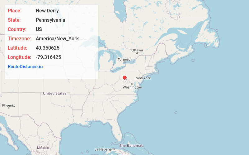
Full AddressNew Derry, PA 15671
-
Coordinates40.3506252, -79.3164247
-
LocationNew Derry , Pennsylvania , US
-
TimezoneAmerica/New_York
-
Current Local Time6:53:58 AM America/New_YorkWednesday, July 2, 2025
-
Page Views0
About New Derry
New Derry is an unincorporated community in Westmoreland County, Pennsylvania, United States. The community is located along Pennsylvania Route 982, 1.5 miles northwest of Derry. New Derry has a post office, with ZIP code 15671, which opened on February 3, 1823.
Nearby Places
Found 10 places within 50 miles

Peanut
1.0 mi
1.6 km
Peanut, Derry Township, PA 15627
Get directions

Derry
1.4 mi
2.3 km
Derry, PA 15627
Get directions
Burds Crossing
1.5 mi
2.4 km
Burds Crossing, Derry Township, PA 15627
Get directions
Seger
1.9 mi
3.1 km
Seger, Derry Township, PA 15627
Get directions
Millwood
2.0 mi
3.2 km
Millwood, PA 15627
Get directions

Bradenville
2.4 mi
3.9 km
Bradenville, PA
Get directions
Hillside
3.2 mi
5.1 km
Hillside, Derry Township, PA 15627
Get directions
Mcchesneytown-Loyalhanna
3.4 mi
5.5 km
Mcchesneytown-Loyalhanna, PA
Get directions

Latrobe
3.9 mi
6.3 km
Latrobe, PA 15650
Get directions
Brenizer
4.3 mi
6.9 km
Brenizer, Derry Township, PA 15717
Get directions
Location Links
Local Weather
Weather Information
Coming soon!
Location Map
Static map view of New Derry, Pennsylvania
Browse Places by Distance
Places within specific distances from New Derry
Short Distances
Long Distances
Click any distance to see all places within that range from New Derry. Distances shown in miles (1 mile ≈ 1.61 kilometers).