Distance to New Harmony, Missouri

Calculating Your Route
Just a moment while we process your request...
Location Information
-
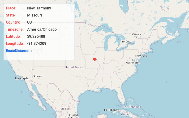
Full AddressNew Harmony, MO 63339
-
Coordinates39.2954879, -91.3742086
-
LocationNew Harmony , Missouri , US
-
TimezoneAmerica/Chicago
-
Current Local Time12:59:32 PM America/ChicagoFriday, May 30, 2025
-
Page Views0
Nearby Places
Found 10 places within 50 miles

Curryville
3.8 mi
6.1 km
Curryville, MO 63339
Get directions

Vandalia
6.2 mi
10.0 km
Vandalia, MO 63382
Get directions
Ashley
8.8 mi
14.2 km
Ashley, MO 63334
Get directions
St. Clement
8.9 mi
14.3 km
St. Clement, MO 63334
Get directions

Bowling Green
10.1 mi
16.3 km
Bowling Green, MO 63334
Get directions
Farber
10.8 mi
17.4 km
Farber, MO 63345
Get directions
Tarrants
11.1 mi
17.9 km
Tarrants, MO 63334
Get directions
Middletown
11.8 mi
19.0 km
Middletown, MO 63359
Get directions
Vera
13.5 mi
21.7 km
Vera, MO 63334
Get directions

Frankford
13.7 mi
22.0 km
Frankford, MO 63441
Get directions
Location Links
Local Weather
Weather Information
Coming soon!
Location Map
Static map view of New Harmony, Missouri
Browse Places by Distance
Places within specific distances from New Harmony
Short Distances
Long Distances
Click any distance to see all places within that range from New Harmony. Distances shown in miles (1 mile ≈ 1.61 kilometers).