Distance to New Lenox Township, Illinois

Calculating Your Route
Just a moment while we process your request...
Location Information
-
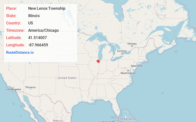
Full AddressNew Lenox Township, IL
-
Coordinates41.514007, -87.9664585
-
LocationNew Lenox Township , Illinois , US
-
TimezoneAmerica/Chicago
-
Current Local Time10:44:08 AM America/ChicagoSaturday, May 31, 2025
-
Page Views0
About New Lenox Township
New Lenox Township is located in the heart of Will County, Illinois, on U.S. Route 30 and Interstate 80. As of the 2010 census, its population was 40,270, and it contained 13,721 housing units. New Lenox Township has thirty-six square miles within its jurisdiction.

Nearby Places
Found 10 places within 50 miles
New Lenox
0.1 mi
0.2 km
New Lenox, IL
Get directions

Steele
0.6 mi
1.0 km
Steele, New Lenox, IL 60451
Get directions
Gilletts
1.5 mi
2.4 km
Gilletts, IL 60451
Get directions
Brisbane
1.5 mi
2.4 km
Brisbane, New Lenox Township, IL 60451
Get directions
Spencer
1.7 mi
2.7 km
Spencer, New Lenox Township, IL 60451
Get directions
Gougars
2.1 mi
3.4 km
Gougars, New Lenox, IL 60451
Get directions
Cherry Hill
2.6 mi
4.2 km
Cherry Hill, New Lenox Township, IL 60433
Get directions
Lincolnwood Hills
2.8 mi
4.5 km
Lincolnwood Hills, New Lenox Township, IL 60451
Get directions
Ingalls Park
3.6 mi
5.8 km
Ingalls Park, IL 60433
Get directions

Mokena
4.1 mi
6.6 km
Mokena, IL
Get directions
Location Links
Local Weather
Weather Information
Coming soon!
Location Map
Static map view of New Lenox Township, Illinois
Browse Places by Distance
Places within specific distances from New Lenox Township
Short Distances
Long Distances
Click any distance to see all places within that range from New Lenox Township. Distances shown in miles (1 mile ≈ 1.61 kilometers).