Distance to New London, Missouri

Calculating Your Route
Just a moment while we process your request...
Location Information
-
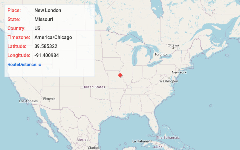
Full AddressNew London, MO 63459
-
Coordinates39.5853222, -91.4009835
-
LocationNew London , Missouri , US
-
TimezoneAmerica/Chicago
-
Current Local Time3:12:04 AM America/ChicagoWednesday, June 18, 2025
-
Page Views0
About New London
New London is a city in Ralls County, Missouri, United States. The population was 943 at the 2020 census. It is the county seat of Ralls County.
New London is part of the Hannibal Micropolitan Statistical Area. William Jameson, claimed land, made a plat, and founded New London in 1819.
Nearby Places
Found 10 places within 50 miles

Hannibal
8.8 mi
14.2 km
Hannibal, MO 63401
Get directions

Palmyra
15.8 mi
25.4 km
Palmyra, MO 63461
Get directions

Payson
18.1 mi
29.1 km
Payson, IL
Get directions

Monroe City
18.4 mi
29.6 km
Monroe City, MO 63456
Get directions

Vandalia
19.5 mi
31.4 km
Vandalia, MO 63382
Get directions

Bowling Green
20.1 mi
32.3 km
Bowling Green, MO 63334
Get directions

Barry
20.7 mi
33.3 km
Barry, IL 62312
Get directions

Louisiana
20.9 mi
33.6 km
Louisiana, MO 63353
Get directions

Quincy
24.2 mi
38.9 km
Quincy, IL
Get directions

Pittsfield
31.8 mi
51.2 km
Pittsfield, IL
Get directions
Location Links
Local Weather
Weather Information
Coming soon!
Location Map
Static map view of New London, Missouri
Browse Places by Distance
Places within specific distances from New London
Short Distances
Long Distances
Click any distance to see all places within that range from New London. Distances shown in miles (1 mile ≈ 1.61 kilometers).