Distance to New Meadows, Idaho

Calculating Your Route
Just a moment while we process your request...
Location Information
-
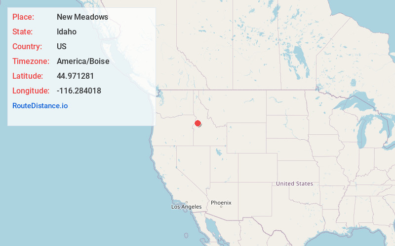
Full AddressNew Meadows, ID 83654
-
Coordinates44.9712808, -116.2840176
-
LocationNew Meadows , Idaho , US
-
TimezoneAmerica/Boise
-
Current Local Time1:22:06 PM America/BoiseWednesday, June 18, 2025
-
Website
-
Page Views0
About New Meadows
New Meadows is a rural city in Adams County, Idaho, United States, at the southern and upper end of the Meadows Valley, on the Little Salmon River. Located in the west central part of the state, just south of the 45th parallel, the population was 496 at the 2010 census, down from 533 in 2000.


Nearby Places
Found 6 places within 50 miles

McCall
9.3 mi
15.0 km
McCall, ID 83638
Get directions

Council
18.3 mi
29.5 km
Council, ID 83612
Get directions

Cambridge
33.6 mi
54.1 km
Cambridge, ID 83610
Get directions

Cascade
33.6 mi
54.1 km
Cascade, ID 83611
Get directions

Yellow Pine
38.7 mi
62.3 km
Yellow Pine, ID
Get directions

Halfway
41.1 mi
66.1 km
Halfway, OR 97834
Get directions
Location Links
Local Weather
Weather Information
Coming soon!
Location Map
Static map view of New Meadows, Idaho
Browse Places by Distance
Places within specific distances from New Meadows
Short Distances
Long Distances
Click any distance to see all places within that range from New Meadows. Distances shown in miles (1 mile ≈ 1.61 kilometers).