Distance to New Memphis, Illinois

Calculating Your Route
Just a moment while we process your request...
Location Information
-
Full AddressNew Memphis, IL 62215
-
Coordinates38.4792158, -89.6784275
-
LocationNew Memphis , Illinois , US
-
TimezoneAmerica/Chicago
-
Current Local Time1:13:05 AM America/ChicagoWednesday, May 21, 2025
-
Page Views0
About New Memphis
New Memphis is an unincorporated community in Clinton County, Illinois, United States. New Memphis is located near the junction of Illinois Route 160 and Illinois Route 177 6 miles east of Mascoutah. New Memphis has a post office with ZIP code 62266.
Nearby Places
Found 10 places within 50 miles

New Memphis Station
1.5 mi
2.4 km
New Memphis Station, Looking Glass Township, IL 62265
Get directions
Damiansville
3.8 mi
6.1 km
Damiansville, IL 62215
Get directions

New Baden
4.0 mi
6.4 km
New Baden, IL
Get directions
Albers
5.7 mi
9.2 km
Albers, IL
Get directions
Venedy
6.1 mi
9.8 km
Venedy, IL 62214
Get directions

Mascoutah
6.3 mi
10.1 km
Mascoutah, IL
Get directions

Okawville
7.6 mi
12.2 km
Okawville, IL 62271
Get directions
St Libory
8.2 mi
13.2 km
St Libory, IL
Get directions

Trenton
8.7 mi
14.0 km
Trenton, IL 62293
Get directions
Summerfield
9.1 mi
14.6 km
Summerfield, IL
Get directions
Location Links
Local Weather
Weather Information
Coming soon!
Location Map
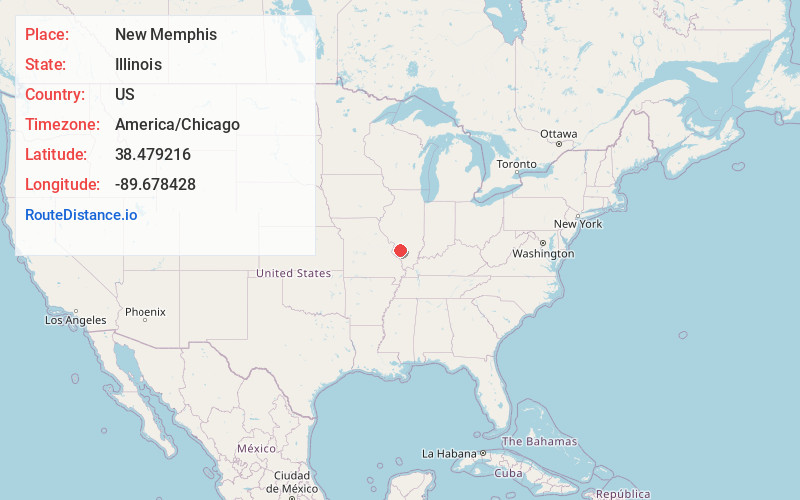
Static map view of New Memphis, Illinois
Browse Places by Distance
Places within specific distances from New Memphis
Short Distances
Long Distances
Click any distance to see all places within that range from New Memphis. Distances shown in miles (1 mile ≈ 1.61 kilometers).