Distance to New Taiton, Texas

Calculating Your Route
Just a moment while we process your request...
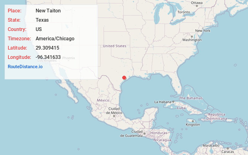
Location Information
-
Full AddressNew Taiton, TX 77437
-
Coordinates29.3094149, -96.3416326
-
LocationTexas , US
-
TimezoneAmerica/Chicago
-
Current Local Time1:56:31 PM America/ChicagoMonday, June 16, 2025
-
Page Views0
About New Taiton
New Taiton is an unincorporated community in northwestern Wharton County, Texas, United States. The community is situated at the intersection of State Highway 71 and Farm to Market Road 961, north-northwest of El Campo, Texas. New Taiton is identified by road signs on SH 71 and FM 961.
Nearby Places
Found 10 places within 50 miles

Nada
7.1 mi
11.4 km
Nada, TX
Get directions

El Campo
8.9 mi
14.3 km
El Campo, TX 77437
Get directions

Garwood
10.2 mi
16.4 km
Garwood, TX
Get directions

Louise
14.2 mi
22.9 km
Louise, TX 77455
Get directions

Wharton
14.4 mi
23.2 km
Wharton, TX 77488
Get directions

Hungerford
17.1 mi
27.5 km
Hungerford, TX
Get directions
Dinsmore
17.5 mi
28.2 km
Dinsmore, TX 77488
Get directions
Danevang
19.2 mi
30.9 km
Danevang, TX
Get directions

Eagle Lake
19.4 mi
31.2 km
Eagle Lake, TX 77434
Get directions
Burr
20.1 mi
32.3 km
Burr, TX 77488
Get directions
Location Links
Local Weather
Weather Information
Coming soon!
Location Map
Static map view of New Taiton, Texas
Browse Places by Distance
Places within specific distances from New Taiton
Short Distances
Long Distances
Click any distance to see all places within that range from New Taiton. Distances shown in miles (1 mile ≈ 1.61 kilometers).