Distance to Newcomb, Tennessee

Calculating Your Route
Just a moment while we process your request...
Location Information
-
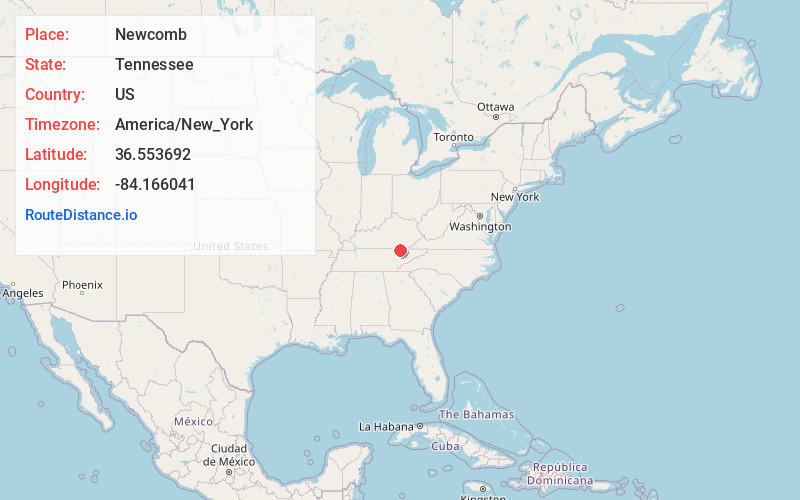
Full AddressNewcomb, TN 37819
-
Coordinates36.5536918, -84.1660413
-
LocationNewcomb , Tennessee , US
-
TimezoneAmerica/New_York
-
Current Local Time12:44:45 AM America/New_YorkThursday, June 19, 2025
-
Page Views0
About Newcomb
Newcomb is an unincorporated community in Campbell County, Tennessee, United States. It is situated in the Elk Fork Creek Valley in the Cumberland Mountains, southwest of Jellico. Tennessee State Route 297 passes through the community. The ZIP Code for Newcomb is 37819.


Nearby Places
Found 10 places within 50 miles

Wooldridge
1.9 mi
3.1 km
Wooldridge, TN 37762
Get directions

Jellico
3.2 mi
5.1 km
Jellico, TN
Get directions

Chaska
5.2 mi
8.4 km
Chaska, TN 37729
Get directions

Saxton
6.3 mi
10.1 km
Saxton, KY 40769
Get directions
Ayers
6.4 mi
10.3 km
Ayers, KY 40769
Get directions
Little White Oak
6.6 mi
10.6 km
Little White Oak, TN 37729
Get directions
Mountain Ash
7.5 mi
12.1 km
Mountain Ash, KY 40769
Get directions

Pleasant View
8.7 mi
14.0 km
Pleasant View, KY 40769
Get directions

Tackett Creek
8.8 mi
14.2 km
Tackett Creek, TN 37729
Get directions
Russell Fork
9.1 mi
14.6 km
Russell Fork, TN 37729
Get directions
Location Links
Local Weather
Weather Information
Coming soon!
Location Map
Static map view of Newcomb, Tennessee
Browse Places by Distance
Places within specific distances from Newcomb
Short Distances
Long Distances
Click any distance to see all places within that range from Newcomb. Distances shown in miles (1 mile ≈ 1.61 kilometers).