Distance to Newton County, Indiana

Calculating Your Route
Just a moment while we process your request...
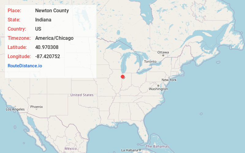
Location Information
-
Full AddressNewton County, IN
-
Coordinates40.9703076, -87.4207518
-
LocationIndiana , US
-
TimezoneAmerica/Chicago
-
Current Local Time11:52:07 AM America/ChicagoTuesday, June 10, 2025
-
Page Views0
About Newton County
Newton County is a county located near the northwestern corner of the U.S. state of Indiana. As of 2020, the population was 13,830. This county is part of Northwest Indiana as well as the Chicago metropolitan area. The county seat is Kentland. The county is divided into 10 townships which provide local services.


Nearby Places
Found 10 places within 50 miles

Morocco
2.4 mi
3.9 km
Morocco, IN 47963
Get directions

Beaver City
4.4 mi
7.1 km
Beaver City, IN 47922
Get directions
Mt Ayr
6.5 mi
10.5 km
Mt Ayr, IN
Get directions

Brook
7.8 mi
12.6 km
Brook, IN 47922
Get directions
North Hooper
9.8 mi
15.8 km
North Hooper, Beaverville Township, IL 60931
Get directions

Fair Oaks
11.2 mi
18.0 km
Fair Oaks, IN 47943
Get directions
Parr
11.2 mi
18.0 km
Parr, IN 47978
Get directions
St Anne Woods
11.6 mi
18.7 km
St Anne Woods, Pembroke Township, IL 60958
Get directions

Lake Village
11.6 mi
18.7 km
Lake Village, IN 46349
Get directions
Donovan
11.8 mi
19.0 km
Donovan, IL 60931
Get directions
Location Links
Local Weather
Weather Information
Coming soon!
Location Map
Static map view of Newton County, Indiana
Browse Places by Distance
Places within specific distances from Newton County
Short Distances
Long Distances
Click any distance to see all places within that range from Newton County. Distances shown in miles (1 mile ≈ 1.61 kilometers).