Distance to Nineveh, New York

Calculating Your Route
Just a moment while we process your request...
Location Information
-
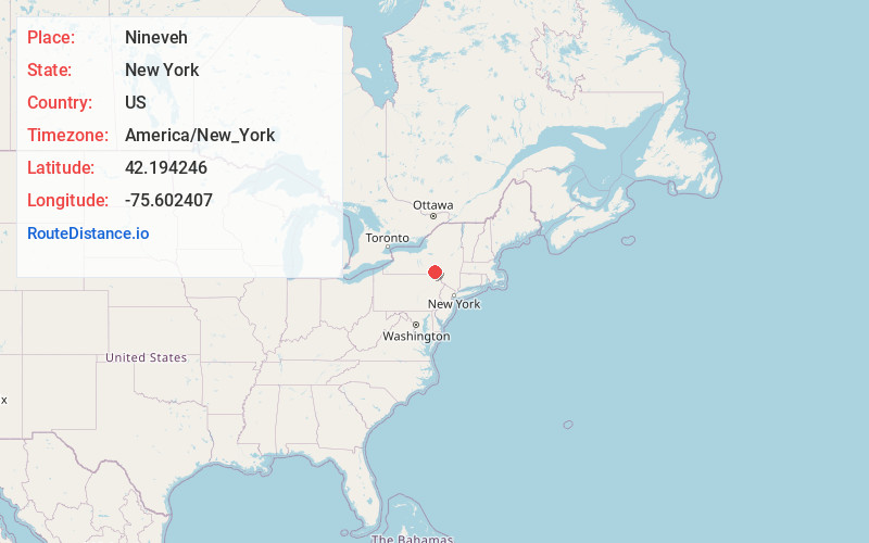
Full AddressNineveh, NY 13787
-
Coordinates42.1942461, -75.602407
-
LocationNineveh , New York , US
-
TimezoneAmerica/New_York
-
Current Local Time11:26:52 AM America/New_YorkFriday, May 30, 2025
-
Page Views0
About Nineveh
Nineveh is a hamlet with approximately fifty homes on the banks of the Susquehanna River in Broome County, New York, United States. It is part of the Town of Colesville, within the Binghamton metropolitan area in eastern Broome County. Nineveh is located on the USGS Afton quadrangle at an elevation of about 960 feet.
Nearby Places
Found 10 places within 50 miles

Colesville
2.6 mi
4.2 km
Colesville, NY
Get directions

North Colesville
6.9 mi
11.1 km
North Colesville, Colesville, NY 13833
Get directions
Coventryville
8.2 mi
13.2 km
Coventryville, NY 13733
Get directions
West Colesville
8.3 mi
13.4 km
West Colesville, NY 13904
Get directions

Windsor
8.4 mi
13.5 km
Windsor, NY 13865
Get directions
Coventry
8.6 mi
13.8 km
Coventry, NY 13778
Get directions
Sanford
8.8 mi
14.2 km
Sanford, NY 13754
Get directions

Bainbridge
9.3 mi
15.0 km
Bainbridge, NY 13733
Get directions
North Fenton
10.4 mi
16.7 km
North Fenton, NY 13746
Get directions
McClure
11.7 mi
18.8 km
McClure, NY 13754
Get directions
Location Links
Local Weather
Weather Information
Coming soon!
Location Map
Static map view of Nineveh, New York
Browse Places by Distance
Places within specific distances from Nineveh
Short Distances
Long Distances
Click any distance to see all places within that range from Nineveh. Distances shown in miles (1 mile ≈ 1.61 kilometers).