Distance to Nixonton, North Carolina

Calculating Your Route
Just a moment while we process your request...
Location Information
-
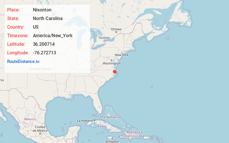
Full AddressNixonton, NC 27909
-
Coordinates36.2007137, -76.2727126
-
LocationNixonton , North Carolina , US
-
TimezoneAmerica/New_York
-
Current Local Time8:51:01 AM America/New_YorkTuesday, June 17, 2025
-
Page Views0
About Nixonton
Nixonton is an unincorporated community in Pasquotank County, North Carolina, United States. Nixonton was once a municipality, having been incorporated in 1758.
A small port, a hub for Quaker trade in the area, existed at the townsite from the 1740s.
Nearby Places
Found 10 places within 50 miles

Jacocks
3.6 mi
5.8 km
Jacocks, NC 27944
Get directions
Woodville
3.8 mi
6.1 km
Woodville, NC 27944
Get directions
Winslow
4.4 mi
7.1 km
Winslow, NC 27909
Get directions
Newhope Proper
6.0 mi
9.7 km
Newhope Proper, NC 27944
Get directions
Chapanoke
6.9 mi
11.1 km
Chapanoke, NC 27944
Get directions
Lumber Mill
7.6 mi
12.2 km
Lumber Mill, NC 27909
Get directions
Burgess
8.8 mi
14.2 km
Burgess, NC 27944
Get directions

Camden
10.4 mi
16.7 km
Camden, NC 27921
Get directions
Winfall
10.7 mi
17.2 km
Winfall, NC 27944
Get directions

Hertford
10.8 mi
17.4 km
Hertford, NC 27944
Get directions
Location Links
Local Weather
Weather Information
Coming soon!
Location Map
Static map view of Nixonton, North Carolina
Browse Places by Distance
Places within specific distances from Nixonton
Short Distances
Long Distances
Click any distance to see all places within that range from Nixonton. Distances shown in miles (1 mile ≈ 1.61 kilometers).