Distance to and from Norma, New Jersey
Norma, Pittsgrove, NJ
Pittsgrove
New Jersey
US
America/New_York
Location Information
-
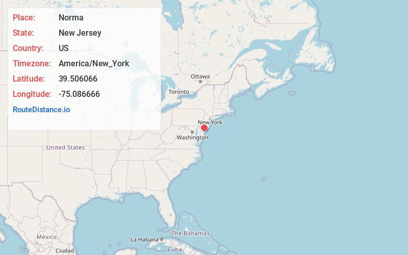
Full AddressNorma, Pittsgrove, NJ
-
Coordinates39.5060658, -75.0866656
-
NeighborhoodNorma
-
LocationPittsgrove , New Jersey , US
-
TimezoneAmerica/New_York
-
Current Local Time4:19:29 PM America/New_YorkSaturday, May 3, 2025
-
Page Views0
Directions to Nearest Cities
About Norma
Norma is an unincorporated community located within Pittsgrove Township in Salem County, in the U.S. state of New Jersey. Norma is located at the junction of County Routes 540 and 638, west of Vineland. Norma has a post office with ZIP Code 08347, which opened on June 29, 1888.
Nearby Places
Found 10 places within 50 miles

Brotmanville
1.0 mi
1.6 km
Brotmanville, Pittsgrove, NJ 08318
Get directions
Six Points
2.1 mi
3.4 km
Six Points, Pittsgrove, NJ 08318
Get directions

Vineland
2.7 mi
4.3 km
Vineland, NJ
Get directions
Forest Grove
2.7 mi
4.3 km
Forest Grove, Vineland, NJ 08360
Get directions

Deerfield
3.0 mi
4.8 km
Deerfield, NJ
Get directions
Newfield
4.3 mi
6.9 km
Newfield, NJ
Get directions

Pittsgrove
4.5 mi
7.2 km
Pittsgrove, NJ 08318
Get directions
Palatine
6.0 mi
9.7 km
Palatine, Pittsgrove, NJ 08318
Get directions
Finley
6.5 mi
10.5 km
Finley, Upper Deerfield Township, NJ 08302
Get directions
Fordville
7.1 mi
11.4 km
Fordville, Fairfield, NJ 08332
Get directions
Brotmanville
1.0 mi
1.6 km
Brotmanville, Pittsgrove, NJ 08318
Six Points
2.1 mi
3.4 km
Six Points, Pittsgrove, NJ 08318
Vineland
2.7 mi
4.3 km
Vineland, NJ
Forest Grove
2.7 mi
4.3 km
Forest Grove, Vineland, NJ 08360
Deerfield
3.0 mi
4.8 km
Deerfield, NJ
Newfield
4.3 mi
6.9 km
Newfield, NJ
Pittsgrove
4.5 mi
7.2 km
Pittsgrove, NJ 08318
Palatine
6.0 mi
9.7 km
Palatine, Pittsgrove, NJ 08318
Finley
6.5 mi
10.5 km
Finley, Upper Deerfield Township, NJ 08302
Fordville
7.1 mi
11.4 km
Fordville, Fairfield, NJ 08332
Location Links
Local Weather
Weather Information
Coming soon!
Location Map
Static map view of Norma, New Jersey
Browse Places by Distance
Places within specific distances from Norma
Short Distances
Long Distances
Click any distance to see all places within that range from Norma. Distances shown in miles (1 mile ≈ 1.61 kilometers).