Distance to Norwalk, Iowa

Calculating Your Route
Just a moment while we process your request...
Location Information
-
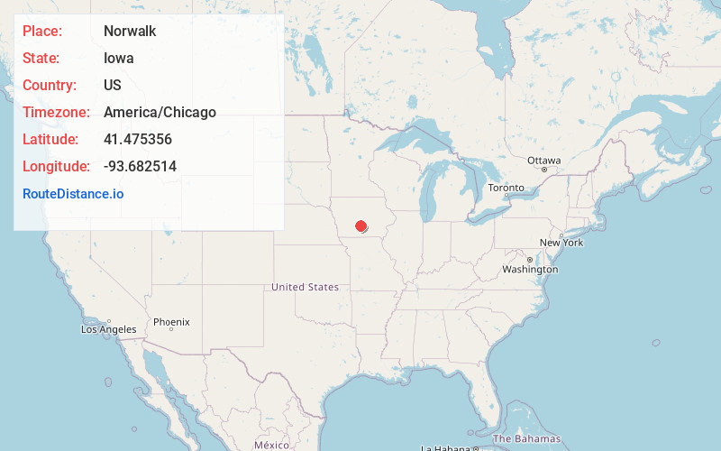
Full AddressNorwalk, IA
-
Coordinates41.4753559, -93.6825144
-
LocationNorwalk , Iowa , US
-
TimezoneAmerica/Chicago
-
Current Local Time8:17:49 PM America/ChicagoThursday, June 5, 2025
-
Page Views0
About Norwalk
Norwalk is a city in Warren County, with some small portions extending into Polk County, in the U.S. state of Iowa. The population was 12,799 at the time of the 2020 census. The city is part of the Des Moines metropolitan area and is located just south of the Des Moines International Airport.


Nearby Places
Found 10 places within 50 miles

West Des Moines
7.4 mi
11.9 km
West Des Moines, IA
Get directions

Des Moines
8.6 mi
13.8 km
Des Moines, IA
Get directions

Clive
10.2 mi
16.4 km
Clive, IA
Get directions

Indianola
10.3 mi
16.6 km
Indianola, IA 50125
Get directions

Urbandale
11.4 mi
18.3 km
Urbandale, IA
Get directions

Johnston
13.7 mi
22.0 km
Johnston, IA
Get directions

Waukee
13.8 mi
22.2 km
Waukee, IA
Get directions

Grimes
15.8 mi
25.4 km
Grimes, IA
Get directions

Altoona
15.8 mi
25.4 km
Altoona, IA
Get directions

Ankeny
18.2 mi
29.3 km
Ankeny, IA
Get directions
Location Links
Local Weather
Weather Information
Coming soon!
Location Map
Static map view of Norwalk, Iowa
Browse Places by Distance
Places within specific distances from Norwalk
Short Distances
Long Distances
Click any distance to see all places within that range from Norwalk. Distances shown in miles (1 mile ≈ 1.61 kilometers).