Distance to Norwood, Colorado

Calculating Your Route
Just a moment while we process your request...
Location Information
-
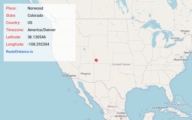
Full AddressNorwood, CO 81423
-
Coordinates38.130546, -108.2923037
-
LocationNorwood , Colorado , US
-
TimezoneAmerica/Denver
-
Current Local Time8:10:33 AM America/DenverMonday, June 16, 2025
-
Page Views0
About Norwood
Norwood is a Statutory Town in San Miguel County, Colorado, United States. The population was 535 at the 2020 census.
A post office called Norwood has been in operation since 1887. The community was named after Norwood, Missouri, the native home of a first settler.


Nearby Places
Found 10 places within 50 miles

Nucla
16.9 mi
27.2 km
Nucla, CO 81424
Get directions

Mountain Village
27.4 mi
44.1 km
Mountain Village, CO 81435
Get directions

Loghill Village
28.2 mi
45.4 km
Loghill Village, CO 81432
Get directions

Ridgway
29.2 mi
47.0 km
Ridgway, CO 81432
Get directions

Telluride
29.3 mi
47.2 km
Telluride, CO
Get directions

Montrose
33.0 mi
53.1 km
Montrose, CO
Get directions

Ouray
34.6 mi
55.7 km
Ouray, CO
Get directions

Olathe
36.8 mi
59.2 km
Olathe, CO 81425
Get directions

Silverton
40.7 mi
65.5 km
Silverton, CO 81433
Get directions

Dove Creek
41.9 mi
67.4 km
Dove Creek, CO 81324
Get directions
Location Links
Local Weather
Weather Information
Coming soon!
Location Map
Static map view of Norwood, Colorado
Browse Places by Distance
Places within specific distances from Norwood
Short Distances
Long Distances
Click any distance to see all places within that range from Norwood. Distances shown in miles (1 mile ≈ 1.61 kilometers).