Distance to Notleys Landing, California

Calculating Your Route
Just a moment while we process your request...
Location Information
-
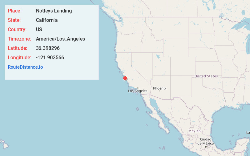
Full AddressNotleys Landing, CA 93923
-
Coordinates36.3982961, -121.9035662
-
LocationNotleys Landing , California , US
-
TimezoneAmerica/Los_Angeles
-
Current Local Time11:45:49 AM America/Los_AngelesSaturday, May 31, 2025
-
Page Views0
About Notleys Landing
Notleys Landing is an uninhabited former hamlet in the Big Sur region of Monterey County, California. It was located near the mouth of the Palo Colorado Canyon 11 miles south of the Carmel River, at an elevation of 112 feet.


Nearby Places
Found 10 places within 50 miles

Carmel Highlands
7.5 mi
12.1 km
Carmel Highlands, CA 93923
Get directions

Cypress Grove
8.9 mi
14.3 km
Cypress Grove, California 93923
Get directions

Hacienda Carmel
9.7 mi
15.6 km
Hacienda Carmel, CA 93923
Get directions

Big Sur
10.3 mi
16.6 km
Big Sur, CA
Get directions

Carmel Valley
11.0 mi
17.7 km
Carmel Valley, CA 93924
Get directions

Monterey
13.8 mi
22.2 km
Monterey, CA
Get directions

Del Rey Oaks
14.0 mi
22.5 km
Del Rey Oaks, CA 93940
Get directions

Pacific Grove
15.2 mi
24.5 km
Pacific Grove, CA
Get directions
Corral De Tierra
15.2 mi
24.5 km
Corral De Tierra, CA 93908
Get directions

Sand City
15.4 mi
24.8 km
Sand City, CA
Get directions
Location Links
Local Weather
Weather Information
Coming soon!
Location Map
Static map view of Notleys Landing, California
Browse Places by Distance
Places within specific distances from Notleys Landing
Short Distances
Long Distances
Click any distance to see all places within that range from Notleys Landing. Distances shown in miles (1 mile ≈ 1.61 kilometers).