Distance to Noxon, Montana

Calculating Your Route
Just a moment while we process your request...
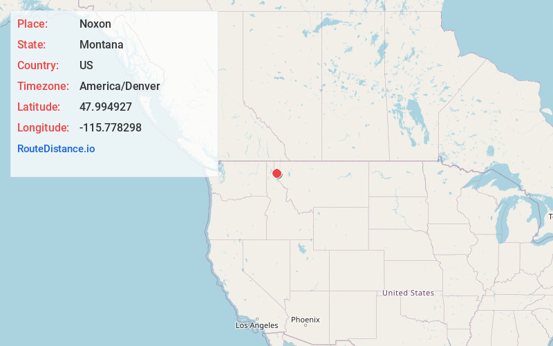
Location Information
-
Full AddressNoxon, MT 59853
-
Coordinates47.9949267, -115.7782979
-
LocationNoxon , Montana , US
-
TimezoneAmerica/Denver
-
Current Local Time9:10:41 AM America/DenverTuesday, June 3, 2025
-
Page Views0
About Noxon
Noxon is a census-designated place in Sanders County, Montana, United States. The population of the whole CDP was 255 at the 2020 census.
The town was established in 1883 as a Northern Pacific Railroad station.
Nearby is the Noxon Rapids Dam.


Nearby Places
Found 10 places within 50 miles

Heron
9.8 mi
15.8 km
Heron, MT 59844
Get directions

Trout Creek
13.7 mi
22.0 km
Trout Creek, MT 59874
Get directions

Clark Fork
21.1 mi
34.0 km
Clark Fork, ID
Get directions

Pioneer Junction
26.4 mi
42.5 km
Pioneer Junction, MT 59923
Get directions

White Haven
27.0 mi
43.5 km
White Haven, MT 59923
Get directions

Libby
29.0 mi
46.7 km
Libby, MT 59923
Get directions

East Hope
29.3 mi
47.2 km
East Hope, ID 83836
Get directions

Troy
32.8 mi
52.8 km
Troy, MT 59935
Get directions

Thompson Falls
34.4 mi
55.4 km
Thompson Falls, MT 59873
Get directions

Kellogg
35.3 mi
56.8 km
Kellogg, ID
Get directions
Location Links
Local Weather
Weather Information
Coming soon!
Location Map
Static map view of Noxon, Montana
Browse Places by Distance
Places within specific distances from Noxon
Short Distances
Long Distances
Click any distance to see all places within that range from Noxon. Distances shown in miles (1 mile ≈ 1.61 kilometers).