Distance to Nut Plains, Connecticut

Calculating Your Route
Just a moment while we process your request...
Location Information
-
Full AddressNut Plains, Guilford, CT 06437
-
Coordinates41.3245421, -72.6842616
-
LocationGuilford , Connecticut , US
-
TimezoneAmerica/New_York
-
Current Local Time7:30:18 PM America/New_YorkThursday, July 3, 2025
-
Page Views0
Nearby Places
Found 10 places within 50 miles

Podunk
1.7 mi
2.7 km
Podunk, Guilford, CT 06437
Get directions

Guilford
2.5 mi
4.0 km
Guilford, CT
Get directions

North Branford
4.3 mi
6.9 km
North Branford, CT
Get directions
Hoadley Neck
4.9 mi
7.9 km
Hoadley Neck, Branford, CT 06405
Get directions

Stony Creek
5.2 mi
8.4 km
Stony Creek, Branford, CT 06405
Get directions

Madison
5.4 mi
8.7 km
Madison, CT 06443
Get directions
Rockland
6.2 mi
10.0 km
Rockland, Madison, CT 06443
Get directions

Killingworth
6.6 mi
10.6 km
Killingworth, CT 06419
Get directions

Branford
7.2 mi
11.6 km
Branford, CT
Get directions
Kelseytown
8.1 mi
13.0 km
Kelseytown, Clinton, CT 06413
Get directions
Location Links
Local Weather
Weather Information
Coming soon!
Location Map
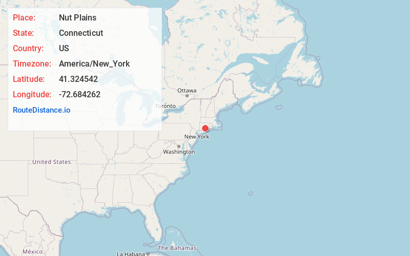
Static map view of Nut Plains, Connecticut
Browse Places by Distance
Places within specific distances from Nut Plains
Short Distances
Long Distances
Click any distance to see all places within that range from Nut Plains. Distances shown in miles (1 mile ≈ 1.61 kilometers).