Distance to Nutwood, Illinois

Calculating Your Route
Just a moment while we process your request...
Location Information
-
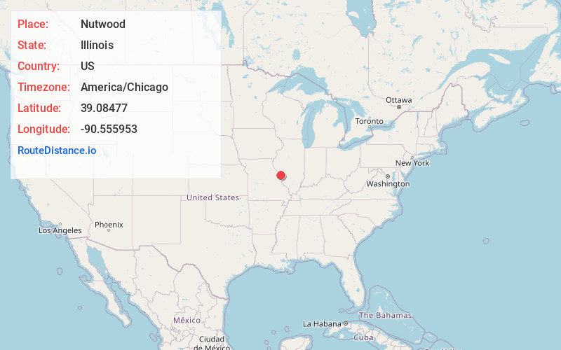
Full AddressNutwood, IL 62031
-
Coordinates39.0847703, -90.5559528
-
LocationNutwood , Illinois , US
-
TimezoneAmerica/Chicago
-
Current Local Time12:41:44 PM America/ChicagoWednesday, June 18, 2025
-
Page Views0
About Nutwood
Nutwood is an unincorporated community in Jersey County, Illinois, United States. It is located along Illinois Route 100, about four miles west-southwest of Fieldon.
Nearby Places
Found 10 places within 50 miles

Fieldon
3.5 mi
5.6 km
Fieldon, IL 62031
Get directions

Hardin
6.0 mi
9.7 km
Hardin, IL 62047
Get directions
Batchtown
6.5 mi
10.5 km
Batchtown, IL 62006
Get directions
Birch Island
7.5 mi
12.1 km
Birch Island, Gilead Precinct, IL 62006
Get directions
Otterville
8.8 mi
14.2 km
Otterville, IL 62052
Get directions

Brussels
9.5 mi
15.3 km
Brussels, IL 62013
Get directions
Foley
10.3 mi
16.6 km
Foley, MO
Get directions

Grafton
10.4 mi
16.7 km
Grafton, IL 62037
Get directions

Winfield
11.5 mi
18.5 km
Winfield, MO 63389
Get directions

Jerseyville
12.4 mi
20.0 km
Jerseyville, IL 62052
Get directions
Location Links
Local Weather
Weather Information
Coming soon!
Location Map
Static map view of Nutwood, Illinois
Browse Places by Distance
Places within specific distances from Nutwood
Short Distances
Long Distances
Click any distance to see all places within that range from Nutwood. Distances shown in miles (1 mile ≈ 1.61 kilometers).