Distance to Oakland Beach, Rhode Island

Calculating Your Route
Just a moment while we process your request...
Location Information
-
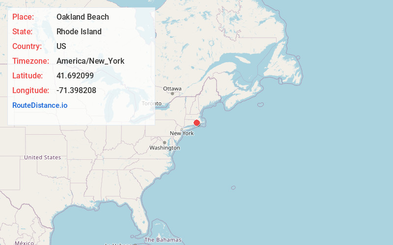
Full AddressOakland Beach, Warwick, RI 02889
-
Coordinates41.6920994, -71.3982077
-
NeighborhoodOakland Beach
-
LocationWarwick , Rhode Island , US
-
TimezoneAmerica/New_York
-
Current Local Time6:32:46 PM America/New_YorkFriday, May 23, 2025
-
Page Views0
About Oakland Beach
Oakland Beach is a neighborhood and beach located in the South Central area of Warwick, Rhode Island, on Greenwich Bay, a tributary of Narragansett Bay. In the late 1800s until about 1895 Oakland Beach was the location of Camp Wetmore, the site of a six day annual training encampment of the Rhode Island Militia.


Nearby Places
Found 10 places within 50 miles

Coggeshall Cove
3.6 mi
5.8 km
Coggeshall Cove, Portsmouth, RI
Get directions

North Quidnessett
3.8 mi
6.1 km
North Quidnessett, North Kingstown, RI 02852
Get directions
Mt View
4.0 mi
6.4 km
Mt View, North Kingstown, RI 02852
Get directions
Nayatt
4.0 mi
6.4 km
Nayatt, Barrington, RI 02806
Get directions
West Barrington
4.6 mi
7.4 km
West Barrington, Barrington, RI 02806
Get directions
Bay Spring
4.7 mi
7.6 km
Bay Spring, Barrington, RI 02806
Get directions
Quidnessett
5.3 mi
8.5 km
Quidnessett, North Kingstown, RI 02852
Get directions

Barrington
5.7 mi
9.2 km
Barrington, RI
Get directions
Bristol Highlands
5.7 mi
9.2 km
Bristol Highlands, Bristol, RI 02809
Get directions
Beach Terrace
6.2 mi
10.0 km
Beach Terrace, Warren, RI 02885
Get directions
Location Links
Local Weather
Weather Information
Coming soon!
Location Map
Static map view of Oakland Beach, Rhode Island
Browse Places by Distance
Places within specific distances from Oakland Beach
Short Distances
Long Distances
Click any distance to see all places within that range from Oakland Beach. Distances shown in miles (1 mile ≈ 1.61 kilometers).