Distance to Oakland, Iowa

Calculating Your Route
Just a moment while we process your request...
Location Information
-
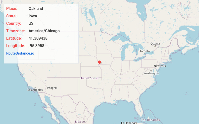
Full AddressOakland, IA 51560
-
Coordinates41.3094375, -95.3957997
-
LocationOakland , Iowa , US
-
TimezoneAmerica/Chicago
-
Current Local Time12:00:09 PM America/ChicagoSaturday, June 14, 2025
-
Page Views0
About Oakland
Oakland is a city located along the West Nishnabotna River in Pottawattamie County, Iowa, United States. The population was 1,524 at the time of the 2020 census. Formerly named Big Grove, Oakland is home to Nishna Heritage Museum and a number of historical buildings.


Nearby Places
Found 10 places within 50 miles

Atlantic
20.8 mi
33.5 km
Atlantic, IA 50022
Get directions

Red Oak
22.1 mi
35.6 km
Red Oak, IA 51566
Get directions

Harlan
24.0 mi
38.6 km
Harlan, IA 51537
Get directions

Council Bluffs
24.4 mi
39.3 km
Council Bluffs, IA
Get directions

Glenwood
25.6 mi
41.2 km
Glenwood, IA 51534
Get directions

Carter Lake
27.1 mi
43.6 km
Carter Lake, IA
Get directions

Omaha
28.2 mi
45.4 km
Omaha, NE
Get directions

Bellevue
29.5 mi
47.5 km
Bellevue, NE
Get directions

Offutt AFB
29.8 mi
48.0 km
Offutt AFB, NE
Get directions

Missouri Valley
30.7 mi
49.4 km
Missouri Valley, IA 51555
Get directions
Location Links
Local Weather
Weather Information
Coming soon!
Location Map
Static map view of Oakland, Iowa
Browse Places by Distance
Places within specific distances from Oakland
Short Distances
Long Distances
Click any distance to see all places within that range from Oakland. Distances shown in miles (1 mile ≈ 1.61 kilometers).