Distance to and from Oakland Park, Florida
Oakland Park, FL
Oakland Park
Florida
US
America/New_York
Location Information
-
Full AddressOakland Park, FL
-
Coordinates26.1723065, -80.1319893
-
LocationOakland Park , Florida , US
-
TimezoneAmerica/New_York
-
Current Local Time5:15:48 PM America/New_YorkSaturday, May 3, 2025
-
Website
-
Page Views0
Directions to Nearest Cities
About Oakland Park
Oakland Park, officially the City of Oakland Park, is a city in Broward County, Florida, United States. It is part of the South Florida metropolitan area, which was home to 6,166,488 people at the 2020 census. As of the 2020 United States census, the city's population was 44,229.


Nearby Places
Found 10 places within 50 miles

Fort Lauderdale
3.5 mi
5.6 km
Fort Lauderdale, FL
Get directions

Pompano Beach
4.0 mi
6.4 km
Pompano Beach, FL
Get directions

Lauderhill
5.5 mi
8.9 km
Lauderhill, FL
Get directions

Coconut Creek
6.2 mi
10.0 km
Coconut Creek, FL
Get directions

North Lauderdale
6.6 mi
10.6 km
North Lauderdale, FL
Get directions

Margate
6.8 mi
10.9 km
Margate, FL
Get directions

Plantation
7.0 mi
11.3 km
Plantation, FL
Get directions

Sunrise
7.7 mi
12.4 km
Sunrise, FL
Get directions

Tamarac
7.8 mi
12.6 km
Tamarac, FL
Get directions

Davie
10.0 mi
16.1 km
Davie, FL
Get directions
Fort Lauderdale
3.5 mi
5.6 km
Fort Lauderdale, FL
Pompano Beach
4.0 mi
6.4 km
Pompano Beach, FL
Lauderhill
5.5 mi
8.9 km
Lauderhill, FL
Coconut Creek
6.2 mi
10.0 km
Coconut Creek, FL
North Lauderdale
6.6 mi
10.6 km
North Lauderdale, FL
Margate
6.8 mi
10.9 km
Margate, FL
Plantation
7.0 mi
11.3 km
Plantation, FL
Sunrise
7.7 mi
12.4 km
Sunrise, FL
Tamarac
7.8 mi
12.6 km
Tamarac, FL
Davie
10.0 mi
16.1 km
Davie, FL
Location Links
Local Weather
Weather Information
Coming soon!
Location Map
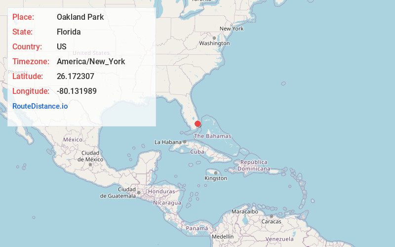
Static map view of Oakland Park, Florida
Browse Places by Distance
Places within specific distances from Oakland Park
Short Distances
Long Distances
Click any distance to see all places within that range from Oakland Park. Distances shown in miles (1 mile ≈ 1.61 kilometers).