Distance to Oakland, Arkansas

Calculating Your Route
Just a moment while we process your request...
Location Information
-
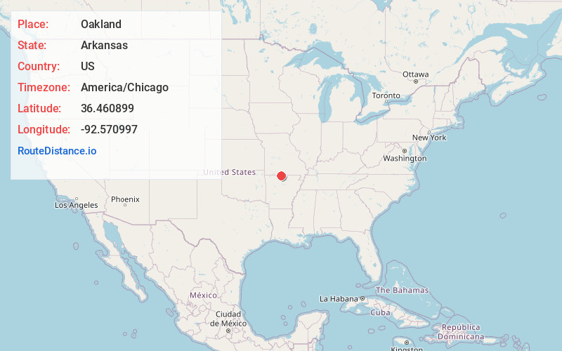
Full AddressOakland, AR 72661
-
Coordinates36.4608991, -92.5709971
-
LocationOakland , Arkansas , US
-
TimezoneAmerica/Chicago
-
Current Local Time2:38:02 AM America/ChicagoMonday, June 9, 2025
-
Page Views0
About Oakland
Oakland is an unincorporated community and census-designated place in northeastern Marion County, Arkansas, United States. Oakland, located on Arkansas Highway 202, is 20 miles by road northwest of Mountain Home. Oakland has a post office with ZIP code 72661.


Nearby Places
Found 10 places within 50 miles

Pontiac
4.2 mi
6.8 km
Pontiac, MO 65729
Get directions

Bull Shoals
5.4 mi
8.7 km
Bull Shoals, AR 72619
Get directions

Lakeview
6.5 mi
10.5 km
Lakeview, AR 72642
Get directions

Midway
8.0 mi
12.9 km
Midway, AR
Get directions
Sundown
8.1 mi
13.0 km
Sundown, MO
Get directions

Theodosia
10.2 mi
16.4 km
Theodosia, MO 65761
Get directions

Gainesville
12.6 mi
20.3 km
Gainesville, MO 65655
Get directions

Flippin
12.7 mi
20.4 km
Flippin, AR
Get directions

Gassville
13.0 mi
20.9 km
Gassville, AR 72635
Get directions

Mountain Home
13.3 mi
21.4 km
Mountain Home, AR
Get directions
Location Links
Local Weather
Weather Information
Coming soon!
Location Map
Static map view of Oakland, Arkansas
Browse Places by Distance
Places within specific distances from Oakland
Short Distances
Long Distances
Click any distance to see all places within that range from Oakland. Distances shown in miles (1 mile ≈ 1.61 kilometers).