Distance to Oakley, Idaho

Calculating Your Route
Just a moment while we process your request...
Location Information
-
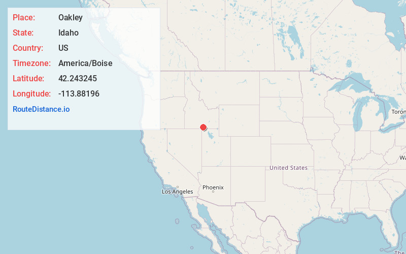
Full AddressOakley, ID 83346
-
Coordinates42.2432451, -113.8819595
-
LocationOakley , Idaho , US
-
TimezoneAmerica/Boise
-
Current Local Time4:22:36 AM America/BoiseThursday, June 12, 2025
-
Page Views0
About Oakley
Oakley is a city in Cassia County, Idaho, United States. The population was 763 at the 2010 census, up from 668 in 2000. It is part of the Burley Micropolitan Statistical Area.


Nearby Places
Found 10 places within 50 miles

Burley
20.7 mi
33.3 km
Burley, ID
Get directions

Heyburn
22.6 mi
36.4 km
Heyburn, ID 83336
Get directions

Paul
25.7 mi
41.4 km
Paul, ID 83347
Get directions

Hazelton
27.6 mi
44.4 km
Hazelton, ID 83335
Get directions

Rupert
28.0 mi
45.1 km
Rupert, ID 83350
Get directions

Hansen
29.1 mi
46.8 km
Hansen, ID 83334
Get directions

Kimberly
31.8 mi
51.2 km
Kimberly, ID 83341
Get directions

Twin Falls
37.0 mi
59.5 km
Twin Falls, ID
Get directions

Filer
43.4 mi
69.8 km
Filer, ID 83328
Get directions

Jackpot
44.3 mi
71.3 km
Jackpot, NV 89825
Get directions
Location Links
Local Weather
Weather Information
Coming soon!
Location Map
Static map view of Oakley, Idaho
Browse Places by Distance
Places within specific distances from Oakley
Short Distances
Long Distances
Click any distance to see all places within that range from Oakley. Distances shown in miles (1 mile ≈ 1.61 kilometers).