Distance to Obregon, California

Calculating Your Route
Just a moment while we process your request...
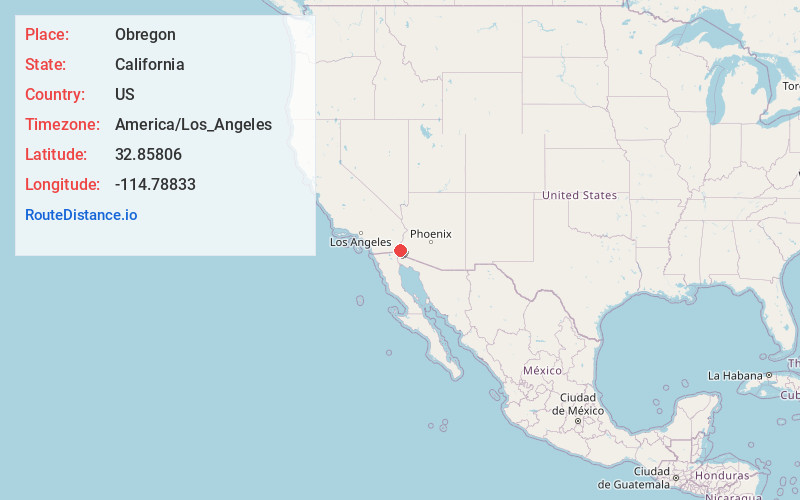
Location Information
-
Full AddressObregon, CA 92283
-
Coordinates32.85806, -114.78833
-
LocationObregon , California , US
-
TimezoneAmerica/Los_Angeles
-
Current Local Time4:38:09 AM America/Los_AngelesThursday, June 26, 2025
-
Page Views0
About Obregon
Obregon is an unincorporated community in Imperial County, California. It is located 4 miles northeast of Ogilby, at an elevation of 663 feet. Obregon was a mining town in the Cargo Muchacho Mountains located near the American Girl Mine. The town was abandoned in 1939, when the mine was closed.
Nearby Places
Found 10 places within 50 miles

Ogilby
4.1 mi
6.6 km
Ogilby, CA 92283
Get directions

Dunes
5.2 mi
8.4 km
Dunes, CA 92283
Get directions

Cactus
6.3 mi
10.1 km
Cactus, CA 92283
Get directions

Felicity
7.6 mi
12.2 km
Felicity, CA 92283
Get directions

Winterhaven
12.1 mi
19.5 km
Winterhaven, CA 92283
Get directions
Avenue B and C
12.2 mi
19.6 km
Avenue B and C, AZ 85364
Get directions

Bard
14.3 mi
23.0 km
Bard, CA 92222
Get directions

Yuma
14.8 mi
23.8 km
Yuma, AZ
Get directions
Picacho
15.3 mi
24.6 km
Picacho, CA 92283
Get directions

Somerton
18.6 mi
29.9 km
Somerton, AZ
Get directions
Location Links
Local Weather
Weather Information
Coming soon!
Location Map
Static map view of Obregon, California
Browse Places by Distance
Places within specific distances from Obregon
Short Distances
Long Distances
Click any distance to see all places within that range from Obregon. Distances shown in miles (1 mile ≈ 1.61 kilometers).