Distance to Obregon, Texas

Calculating Your Route
Just a moment while we process your request...
Location Information
-
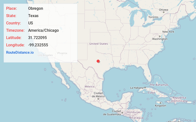
Full AddressObregon, TX 76823
-
Coordinates31.7220947, -99.2325551
-
LocationTexas , US
-
TimezoneAmerica/Chicago
-
Current Local Time11:09:54 PM America/ChicagoFriday, June 6, 2025
-
Page Views0
Nearby Places
Found 10 places within 50 miles

Santa Anna
5.4 mi
8.7 km
Santa Anna, TX 76878
Get directions

Bangs
5.9 mi
9.5 km
Bangs, TX 76823
Get directions
Trickham
9.3 mi
15.0 km
Trickham, TX 76878
Get directions

Lake Brownwood
9.5 mi
15.3 km
Lake Brownwood, TX 76801
Get directions
Shamrock Shores
10.4 mi
16.7 km
Shamrock Shores, Lake Brownwood, TX 76801
Get directions
Grosvenor
12.1 mi
19.5 km
Grosvenor, TX 76801
Get directions

Coleman
13.5 mi
21.7 km
Coleman, TX 76834
Get directions
Brookesmith
13.6 mi
21.9 km
Brookesmith, TX 76827
Get directions

Brownwood
14.2 mi
22.9 km
Brownwood, TX
Get directions
Dulin
15.3 mi
24.6 km
Dulin, TX 76827
Get directions
Location Links
Local Weather
Weather Information
Coming soon!
Location Map
Static map view of Obregon, Texas
Browse Places by Distance
Places within specific distances from Obregon
Short Distances
Long Distances
Click any distance to see all places within that range from Obregon. Distances shown in miles (1 mile ≈ 1.61 kilometers).