Distance to O'Brien, Texas

Calculating Your Route
Just a moment while we process your request...
Location Information
-
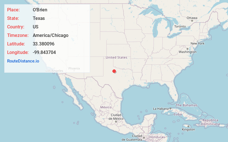
Full AddressO'Brien, TX 79539
-
Coordinates33.3800959, -99.8437036
-
LocationO'Brien , Texas , US
-
TimezoneAmerica/Chicago
-
Current Local Time2:34:55 PM America/ChicagoSunday, June 15, 2025
-
Page Views0
About O'Brien
O'Brien is a city in Haskell County, Texas, United States. The population was 91 at the 2020 census. O'Brien is located at the junction of Farm to Market Road 2229 and Texas State Highway 6; the nearest large city is Abilene, 70 miles to the south.
Nearby Places
Found 10 places within 50 miles

Knox City
3.0 mi
4.8 km
Knox City, TX 79529
Get directions

Rochester
4.5 mi
7.2 km
Rochester, TX 79544
Get directions

Weinert
10.6 mi
17.1 km
Weinert, TX 76388
Get directions

Munday
13.6 mi
21.9 km
Munday, TX 76371
Get directions

Rule
13.8 mi
22.2 km
Rule, TX 79547
Get directions

Benjamin
14.4 mi
23.2 km
Benjamin, TX 79505
Get directions

Haskell
16.6 mi
26.7 km
Haskell, TX 79521
Get directions
Goree
19.4 mi
31.2 km
Goree, TX 76363
Get directions

Aspermont
28.0 mi
45.1 km
Aspermont, TX 79502
Get directions

Stamford
30.1 mi
48.4 km
Stamford, TX
Get directions
Location Links
Local Weather
Weather Information
Coming soon!
Location Map
Static map view of O'Brien, Texas
Browse Places by Distance
Places within specific distances from O'Brien
Short Distances
Long Distances
Click any distance to see all places within that range from O'Brien. Distances shown in miles (1 mile ≈ 1.61 kilometers).