Distance to Ocala, Florida

Calculating Your Route
Just a moment while we process your request...
Location Information
-
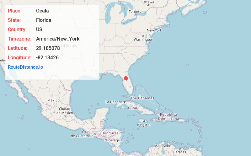
Full AddressOcala, FL
-
Coordinates29.1850783, -82.1342596
-
LocationOcala , Florida , US
-
TimezoneAmerica/New_York
-
Current Local Time5:37:34 PM America/New_YorkTuesday, June 17, 2025
-
Website
-
Page Views0
About Ocala
Ocala is a city in central Florida. East of downtown, Fort King National Historic Park was an important Second Seminole War site. The collection at the Appleton Museum of Art includes pre-Columbian artifacts and contemporary art. The waters of Silver Springs State Park are dotted with kayaks and glass-bottom boats. The park is also the gateway to the woods and lakes of the vast Ocala National Forest to the east.


Nearby Places
Found 1 places within 50 miles

Location Links
Local Weather
Weather Information
Coming soon!
Location Map
Static map view of Ocala, Florida
Browse Places by Distance
Places within specific distances from Ocala
Short Distances
Long Distances
Click any distance to see all places within that range from Ocala. Distances shown in miles (1 mile ≈ 1.61 kilometers).