Distance to Ochlockonee, Florida

Calculating Your Route
Just a moment while we process your request...
Location Information
-
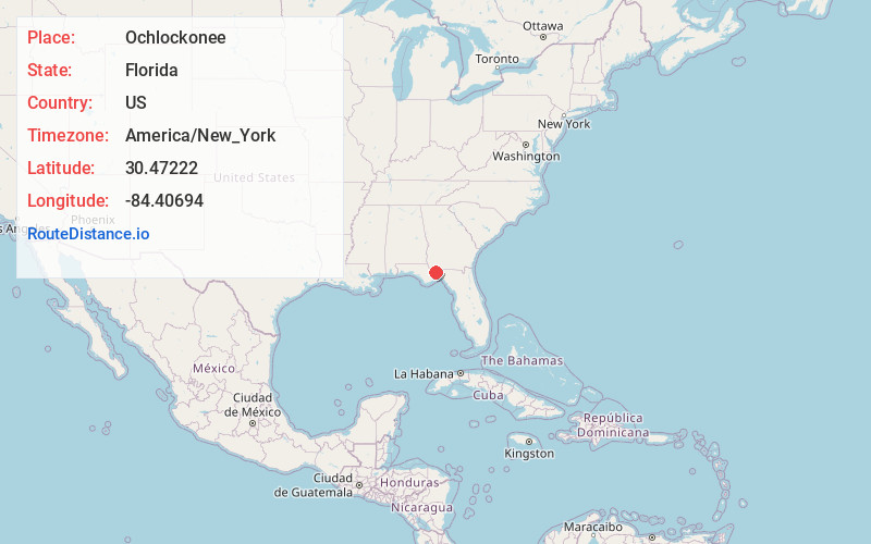
Full AddressOchlockonee, FL 32304
-
Coordinates30.47222, -84.40694
-
LocationOchlockonee , Florida , US
-
TimezoneAmerica/New_York
-
Current Local Time5:27:48 AM America/New_YorkWednesday, June 18, 2025
-
Page Views0
About Ochlockonee
Ochlockoneee is an unincorporated community in western Leon County, Florida, United States, located at U.S. Route 90 and County Road 260 and at the Ochlockonee River, west of Tallahassee by three miles.
The community includes the neighborhoods around Chigger Lane, Houston Road, and Sassy Tree Lane.


Nearby Places
Found 10 places within 50 miles

Midway
3.2 mi
5.1 km
Midway, FL
Get directions

Harbinwood Estates
5.2 mi
8.4 km
Harbinwood Estates, FL 32303
Get directions
Bellwood Estates
5.2 mi
8.4 km
Bellwood Estates, FL 32303
Get directions

Lake Jackson
6.5 mi
10.5 km
Lake Jackson, Florida
Get directions
Gibson
6.5 mi
10.5 km
Gibson, FL 32333
Get directions
Scotland
7.3 mi
11.7 km
Scotland, FL 32333
Get directions

Tallahassee
7.9 mi
12.7 km
Tallahassee, FL
Get directions
Holland
8.1 mi
13.0 km
Holland, Fort Braden, FL 32310
Get directions
Fort Braden
8.5 mi
13.7 km
Fort Braden, FL
Get directions
Rich Bay
9.2 mi
14.8 km
Rich Bay, FL 32333
Get directions
Location Links
Local Weather
Weather Information
Coming soon!
Location Map
Static map view of Ochlockonee, Florida
Browse Places by Distance
Places within specific distances from Ochlockonee
Short Distances
Long Distances
Click any distance to see all places within that range from Ochlockonee. Distances shown in miles (1 mile ≈ 1.61 kilometers).