Distance to Ochwalkee Creek, Georgia

Calculating Your Route
Just a moment while we process your request...
Location Information
-
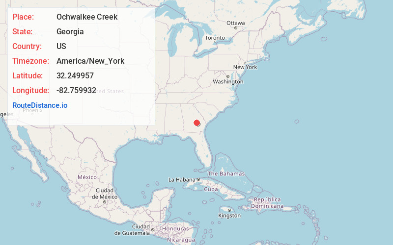
Full AddressOchwalkee Creek, Georgia
-
Coordinates32.2499568, -82.7599319
-
LocationGeorgia , US
-
TimezoneAmerica/New_York
-
Current Local Time9:07:39 AM America/New_YorkWednesday, May 21, 2025
-
Page Views0
Nearby Places
Found 10 places within 50 miles

Glenwood
7.2 mi
11.6 km
Glenwood, GA
Get directions

Alamo
7.2 mi
11.6 km
Alamo, GA 30411
Get directions

Lothair
9.5 mi
15.3 km
Lothair, GA 30457
Get directions

Mt Vernon
10.9 mi
17.5 km
Mt Vernon, GA
Get directions
Ailey
12.1 mi
19.5 km
Ailey, GA
Get directions
Tarrytown
12.6 mi
20.3 km
Tarrytown, GA 30470
Get directions

Soperton
13.2 mi
21.2 km
Soperton, GA 30457
Get directions
Orland
13.7 mi
22.0 km
Orland, GA 30457
Get directions

Scotland
14.3 mi
23.0 km
Scotland, GA
Get directions
Zaidee
16.0 mi
25.7 km
Zaidee, GA 30457
Get directions
Location Links
Local Weather
Weather Information
Coming soon!
Location Map
Static map view of Ochwalkee Creek, Georgia
Browse Places by Distance
Places within specific distances from Ochwalkee Creek
Short Distances
Long Distances
Click any distance to see all places within that range from Ochwalkee Creek. Distances shown in miles (1 mile ≈ 1.61 kilometers).