Distance to Ockley, Indiana

Calculating Your Route
Just a moment while we process your request...
Location Information
-
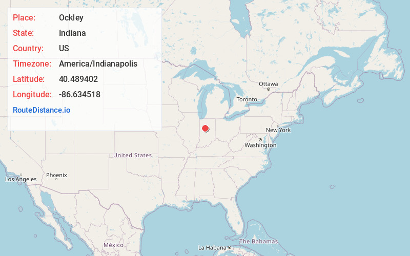
Full AddressOckley, IN 46923
-
Coordinates40.489402, -86.6345178
-
LocationOckley , Indiana , US
-
TimezoneAmerica/Indianapolis
-
Page Views0
About Ockley
Ockley is an unincorporated community in Madison Township, Carroll County, in the U.S. state of Indiana.
The community is part of the Lafayette, Indiana Metropolitan Statistical Area.
Nearby Places
Found 10 places within 50 miles

Owasco
2.0 mi
3.2 km
Owasco, IN 46065
Get directions
Colburn
4.6 mi
7.4 km
Colburn, IN 47905
Get directions
Edna Mills
5.3 mi
8.5 km
Edna Mills, IN 46065
Get directions

Rossville
5.4 mi
8.7 km
Rossville, IN 46065
Get directions

Cutler
5.9 mi
9.5 km
Cutler, IN 46920
Get directions

Bringhurst
6.2 mi
10.0 km
Bringhurst, IN
Get directions
Buck Creek
6.7 mi
10.8 km
Buck Creek, IN
Get directions
Americus
7.0 mi
11.3 km
Americus, IN 47905
Get directions

Flora
7.0 mi
11.3 km
Flora, IN
Get directions

Delphi
7.1 mi
11.4 km
Delphi, IN 46923
Get directions
Location Links
Local Weather
Weather Information
Coming soon!
Location Map
Static map view of Ockley, Indiana
Browse Places by Distance
Places within specific distances from Ockley
Short Distances
Long Distances
Click any distance to see all places within that range from Ockley. Distances shown in miles (1 mile ≈ 1.61 kilometers).