Distance to Ogden, Arkansas

Calculating Your Route
Just a moment while we process your request...
Location Information
-
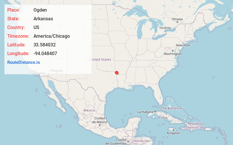
Full AddressOgden, AR
-
Coordinates33.584032, -94.0484071
-
LocationOgden , Arkansas , US
-
TimezoneAmerica/Chicago
-
Current Local Time12:34:25 AM America/ChicagoTuesday, June 3, 2025
-
Page Views0
About Ogden
Ogden is a city in Little River County, Arkansas, United States. The population was 180 at the 2010 census, down from 214 at the 2000 census.
Nearby Places
Found 10 places within 50 miles

Ashdown
7.9 mi
12.7 km
Ashdown, AR 71822
Get directions

Yarborough Landing
9.6 mi
15.4 km
Yarborough Landing, AR 71822
Get directions
Red Lick
9.6 mi
15.4 km
Red Lick, TX 75503
Get directions

Texarkana
10.6 mi
17.1 km
Texarkana, AR 71854
Get directions
Nash
10.9 mi
17.5 km
Nash, TX
Get directions

Texarkana
11.0 mi
17.7 km
Texarkana, TX
Get directions

Wake Village
11.4 mi
18.3 km
Wake Village, TX
Get directions
Wilton
12.3 mi
19.8 km
Wilton, AR
Get directions

Fulton
13.7 mi
22.0 km
Fulton, AR 71838
Get directions

Leary
13.7 mi
22.0 km
Leary, TX
Get directions
Location Links
Local Weather
Weather Information
Coming soon!
Location Map
Static map view of Ogden, Arkansas
Browse Places by Distance
Places within specific distances from Ogden
Short Distances
Long Distances
Click any distance to see all places within that range from Ogden. Distances shown in miles (1 mile ≈ 1.61 kilometers).