Distance to Ogden Dunes, Indiana

Calculating Your Route
Just a moment while we process your request...
Location Information
-
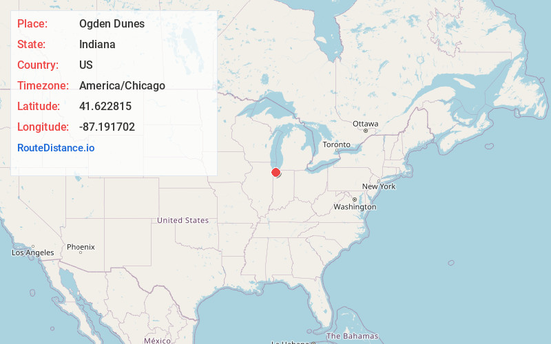
Full AddressOgden Dunes, IN
-
Coordinates41.6228148, -87.1917022
-
LocationOgden Dunes , Indiana , US
-
TimezoneAmerica/Chicago
-
Current Local Time1:55:06 AM America/ChicagoThursday, May 29, 2025
-
Page Views0
About Ogden Dunes
Ogden Dunes is a town in Portage Township, Porter County, Indiana, United States. It is located on the shore of Lake Michigan, within Indiana Dunes National Park and nearly surrounded by the city of Portage. The population was 1,168 as of the 2020 census.


Nearby Places
Found 10 places within 50 miles

Burns Harbor
3.0 mi
4.8 km
Burns Harbor, IN
Get directions

Portage
3.3 mi
5.3 km
Portage, IN
Get directions

Lake Station
4.1 mi
6.6 km
Lake Station, IN
Get directions

New Chicago
6.2 mi
10.0 km
New Chicago, IN
Get directions

South Haven
6.3 mi
10.1 km
South Haven, IN 46385
Get directions

Chesterton
6.6 mi
10.6 km
Chesterton, IN 46304
Get directions

Hobart
7.1 mi
11.4 km
Hobart, IN
Get directions

Indiana Dunes National Park
7.5 mi
12.1 km
Indiana Dunes National Park, Porter, IN 46304
Get directions

Gary
7.6 mi
12.2 km
Gary, IN
Get directions

Salt Creek Commons
8.1 mi
13.0 km
Salt Creek Commons, IN 46385
Get directions
Location Links
Local Weather
Weather Information
Coming soon!
Location Map
Static map view of Ogden Dunes, Indiana
Browse Places by Distance
Places within specific distances from Ogden Dunes
Short Distances
Long Distances
Click any distance to see all places within that range from Ogden Dunes. Distances shown in miles (1 mile ≈ 1.61 kilometers).